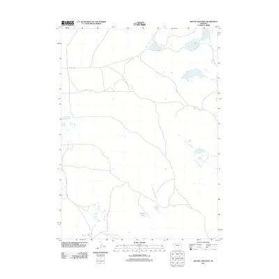
2011 Map of Krause Lake West
USGS Topo · Published 2011About this map
Twin Lakes and Peterson Lake anchor this 2011 survey of the Nebraska sandhills in Box Butte County. The landscape is defined by its hydrology, characterized by numerous small basins and larger permanent water bodies such as Fenner Lakes in the south. The human footprint is sparse, consisting primarily of a grid-based transportation network designed to navigate the undulating terrain. Key arterial routes like Jefferson Rd and Lincoln Rd serve as the primary conduits through this section of the plains, likely supporting the regional ranching operations that define the area's economy. This map provides a clear view of the water distribution and road access in a region where natural features dictate the placement of local infrastructure.
Find a feature on this map
5 named features on this map. Tap any name to fly to it.
Don’t see what you’re looking for? This feature index may not catch every label — zoom into the map to look around manually.
Map Details
Editions of this 2011 Krause Lake West Map
This is the sole edition of this map. No revisions or reprints were ever made.
Other maps of this area

1946 · Berea Creek East
USGS Topo · 1:24,000

1947 · Alliance
USGS Topo · 1:24,000

1947 · Box Butte
USGS Topo · 1:24,000

1948 · Berea Creek East
USGS Topo · 1:24,000

1948 · Alliance
USGS Topo · 1:24,000

1948 · Antioch
USGS Topo · 1:62,500

1949 · Antioch
USGS Topo · 1:62,500

1949 · Box Butte
USGS Topo · 1:24,000

1950 · Skunk Lake
USGS Topo · 1:62,500

1955 · Alliance
USGS Topo · 1:250,000