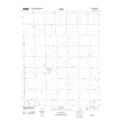
2012 Map of Kremlin
USGS Topo · Published 2012About this map
Kremlin serves as the central hub of this Garfield County landscape, where the town's grid of streets including Main St and F Ave contrasts with the surrounding agricultural sections. The map reveals the local intersection of aviation and energy production, marked by the F.W. Zaloudek Airport just northwest of town and the East Kremlin Gas Field to the east. For genealogists and local historians, several landmarks provide critical spatial context, such as the Valley Center Cem near Wild Horse Cr and the Kremlin Cem located along E Keowee Rd. Drainage across the plains is defined by the winding paths of Sand Cr and the waters of the Upper Red Rock Cr Site 27 Reservoir, illustrating how water management shapes this prairie environment.
Find a feature on this map
32 named features on this map. Tap any name to fly to it.
Don’t see what you’re looking for? This feature index may not catch every label — zoom into the map to look around manually.
Map Details
Editions of this 2012 Kremlin Map
This is the sole edition of this map. No revisions or reprints were ever made.
Other maps of this area

1955 · Enid West
USGS Topo · 1:24,000

1955 · Enid East
USGS Topo · 1:24,000

1955 · Enid
USGS Topo · 1:250,000

1956 · Garber
USGS Topo · 1:62,500

1956 · Enid
USGS Topo · 1:62,500

1958 · Enid
USGS Topo · 1:250,000

1968 · Hillsdale
USGS Topo · 1:24,000

1968 · Lamont NW
USGS Topo · 1:24,000

1968 · Hunter
USGS Topo · 1:24,000

1968 · Kremlin
USGS Topo · 1:24,000