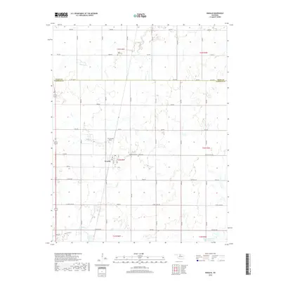
2018 Map of Kremlin
USGS Topo · Published 2018About this map
Kremlin serves as the central hub of this agricultural landscape in north-central Oklahoma, situated just south of the Grant Co Garfield Co line. The town's grid is anchored by Main St and C Ave, with the F W Zaloudek Airport providing aviation access immediately to the northwest. The surrounding countryside is defined by a systematic grid of section-line roads, including Kremlin-Hunter Rd and H Holden Rd, which cross over the winding course of Sand Creek.
Find a feature on this map
37 named features on this map. Tap any name to fly to it.
Don’t see what you’re looking for? This feature index may not catch every label — zoom into the map to look around manually.
Map Details
Editions of this 2018 Kremlin Map
This is the sole edition of this map. No revisions or reprints were ever made.
Other maps of this area

1955 · Enid West
USGS Topo · 1:24,000

1955 · Enid East
USGS Topo · 1:24,000

1955 · Enid
USGS Topo · 1:250,000

1956 · Garber
USGS Topo · 1:62,500

1956 · Enid
USGS Topo · 1:62,500

1958 · Enid
USGS Topo · 1:250,000

1968 · Hillsdale
USGS Topo · 1:24,000

1968 · Lamont NW
USGS Topo · 1:24,000

1968 · Hunter
USGS Topo · 1:24,000

1968 · Kremlin
USGS Topo · 1:24,000