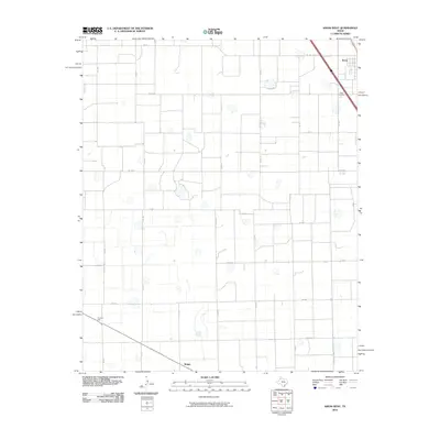
2010 Map of Kress West
USGS Topo · Published 2010About this map
Agricultural patterns and a rigid section-line grid define this Swisher County landscape at the start of the 2010s. The town of Kress occupies the northeast corner, where the Kress Cemetery serves as a primary genealogical landmark for the community. Moving southwest across the plains, the map reveals the small railroad-related sites of Farmers Spur and Wright, situated along the rail corridor that cuts diagonally through the southern territory. This network of rural transit is supported by a dense web of county roads such as Nix Rd and Sun Rd, alongside state-maintained routes like Fm 145 and Fm 788. The map documents a landscape of large-scale farming punctuated by numerous ephemeral playa lakes, which appear as scattered depressions throughout the grid of cotton and grain fields.
Find a feature on this map
26 named features on this map. Tap any name to fly to it.
Don’t see what you’re looking for? This feature index may not catch every label — zoom into the map to look around manually.
Map Details
Editions of this 2010 Kress West Map
This is the sole edition of this map. No revisions or reprints were ever made.
Other maps of this area

1954 · Plainview
USGS Topo · 1:250,000

1958 · Plainview
USGS Topo · 1:250,000

1965 · Edmonson NE
USGS Topo · 1:24,000

1965 · Kress West
USGS Topo · 1:24,000

1965 · Edmonson
USGS Topo · 1:24,000

1965 · Center Plains School
USGS Topo · 1:24,000

1965 · Wasson
USGS Topo · 1:24,000

1965 · Plainview
USGS Topo · 1:24,000

1968 · Halfway
USGS Topo · 1:24,000

1969 · Kress East
USGS Topo · 1:24,000