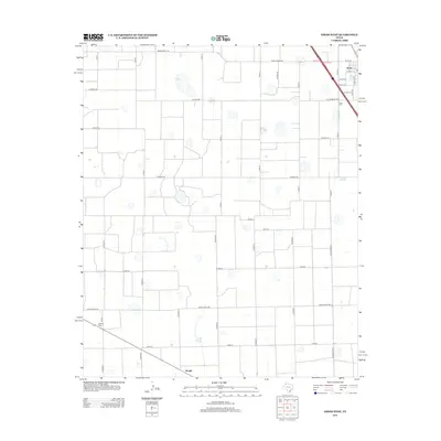
2012 Map of Kress West
USGS Topo · Published 2012About this map
Kress occupies the northeast corner of this West Texas landscape, where the grid of the town meets the expansive agricultural layouts of Swisher County. The map documents the intersection of rail-and-road transport, with residential streets like W 1st St and Dudley Ave giving way to the sprawling network of county roads that define the region's productive land. To the south and west, the smaller outposts of Farmers Spur and Wright are recorded along the transport corridors, reflecting the area's deep ties to grain and cattle logistics. Significant for local historians and genealogists, the Kress Cem is clearly marked at the edge of town, accessible by the appropriately named Old Cemetery Rd. The terrain is characterized by numerous small, seasonal water basins or playas dotting the fields between Ranch Road 145 and Ranch Road 788, illustrating the natural drainage patterns of the Llano Estacado.
Find a feature on this map
35 named features on this map. Tap any name to fly to it.
Don’t see what you’re looking for? This feature index may not catch every label — zoom into the map to look around manually.
Map Details
Editions of this 2012 Kress West Map
This is the sole edition of this map. No revisions or reprints were ever made.
Other maps of this area

1954 · Plainview
USGS Topo · 1:250,000

1958 · Plainview
USGS Topo · 1:250,000

1965 · Edmonson NE
USGS Topo · 1:24,000

1965 · Kress West
USGS Topo · 1:24,000

1965 · Edmonson
USGS Topo · 1:24,000

1965 · Center Plains School
USGS Topo · 1:24,000

1965 · Wasson
USGS Topo · 1:24,000

1965 · Plainview
USGS Topo · 1:24,000

1968 · Halfway
USGS Topo · 1:24,000

1969 · Kress East
USGS Topo · 1:24,000