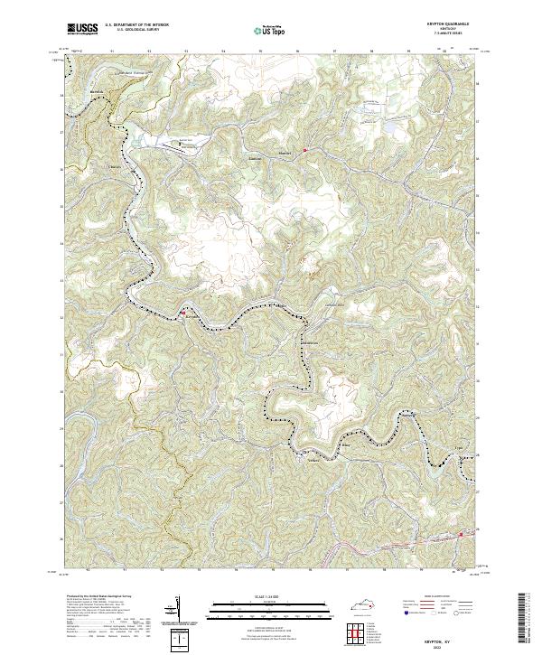
2022 Map of Krypton
USGS Topo · Published 2022About this map
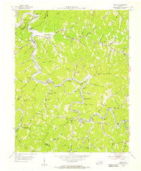
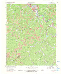
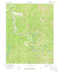
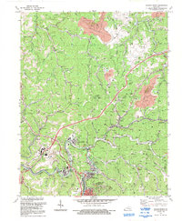
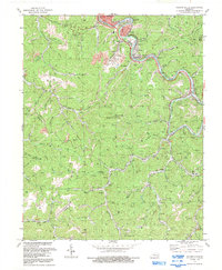
The North Fork Kentucky River snakes through the center of this terrain, anchoring a series of closely spaced communities that follow the river’s winding course and narrow valleys. Settlements like Krypton, Chavies, and Yerkes are connected by a network of hollows and ridge-line roads, such as Chavies-Dunraven Rd and Krypton-Napfor Rd. The landscape is defined by its dramatic relief, with named peaks like McIntosh Mountain rising above the river bends at Campbell Bend and Stidham Bend. Genealogy researchers will find interest in the scattered rural landmarks, including the Red Hill Cem near the Duff Airport, and smaller reaches like Butterfly and Typo. The borders with Breathitt and Leslie counties highlight the remote, high-country character of the region as it appeared in the early 2020s.
Find a feature on this map
126 named features on this map. Tap any name to fly to it.
Don’t see what you’re looking for? This feature index may not catch every label — zoom into the map to look around manually.
Map Details
Editions of this 2022 Krypton Map
This is the sole edition of this map. No revisions or reprints were ever made.
Historical Maps of Napfor Through Time
15 maps found
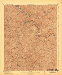
1916 Cornettsville
Perry County, KY
1954 Hazard North
Perry County, KY
1954 Hazard South
Perry County, KY
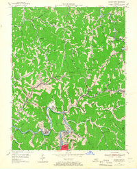
1954 Krypton
Perry County, KY
1954 Tilford
Perry County, KY
1961 Krypton
Perry County, KY
1972 Hazard North
Perry County, KY
1972 Hazard South
Perry County, KY
1972 Krypton
Perry County, KY
1992 Hazard North
Perry County, KY
1992 Hazard South
Perry County, KY
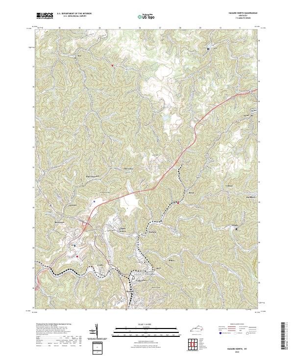
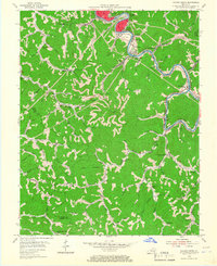
2022 Hazard North
Perry County, KY
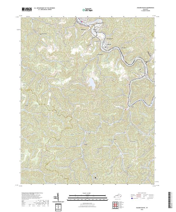
2022 Hazard South
Perry County, KY
2022 Krypton
Perry County, KY
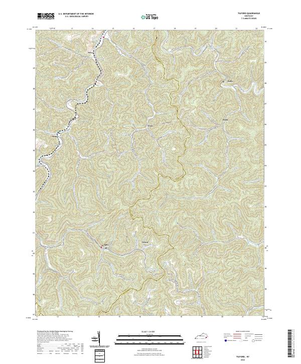
2022 Tilford
Perry County, KY