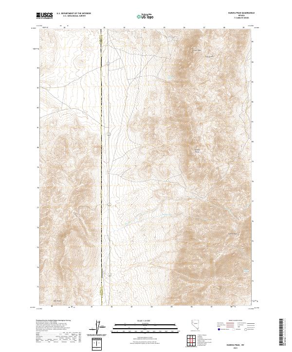
2021 Map of Kumiva Peak
USGS Topo · Published 2021About this map
Kumiva Peak dominates the eastern ridges of this high-desert landscape along the border of Washoe and Pershing counties. The terrain is defined by the significant elevations of the Selenite Range and the northern reach of the Lake Range, where steep slopes give way to seasonal drainages and isolated water sources. Navigating this area requires an understanding of these rare hydrological points, such as Mountain Spring below Luxor Peak and Rosebud Spring to the south.
Find a feature on this map
16 named features on this map. Tap any name to fly to it.
Don’t see what you’re looking for? This feature index may not catch every label — zoom into the map to look around manually.
Map Details
Editions of this 2021 Kumiva Peak Map
This is the sole edition of this map. No revisions or reprints were ever made.
Other maps of this area

1886 · Granite Range
USGS Topo · 1:250,000

1894 · Granite Range
USGS Topo · 1:250,000

1955 · Lovelock
USGS Topo · 1:250,000

1959 · Lovelock
USGS Topo · 1:250,000

1964 · Gerlach
USGS Topo · 1:62,500

1964 · Kumiva Peak
USGS Topo · 1:62,500

1980 · Tenmile
USGS Topo · 1:24,000

1981 · Gerlach
USGS Topo · 1:100,000
1981 · Betty Creek
USGS Topo · 1:24,000
1981 · Jayhawk Well
USGS Topo · 1:24,000