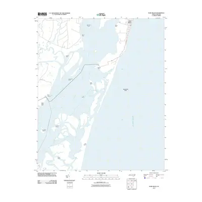
2010 Map of Kure Beach
USGS Topo · Published 2010About this map
Prices Creek Lighthouse stands as a sentinel along the western bank of the Cape Fear River, marking a critical navigation point where the river meets the Atlantic Ocean. This coastal landscape is defined by its shifting sands and complex estuarine environment, featuring significant landforms like Smith Island and Zekes Island. The map illustrates the specialized maritime infrastructure required to navigate these waters, including the Snow Marsh Channel Range and the protective barrier of The Rocks. To the east, the residential patterns of Kure Beach contrast with the largely undeveloped wetland islands such as Shellbed Island and Striking Island. This survey captures the delicate balance between the developed Cape Fear shoreline and the sprawling shoals like Midnight Shoal and Horseshoe Shoal that have shaped the region's nautical history.
Find a feature on this map
23 named features on this map. Tap any name to fly to it.
Don’t see what you’re looking for? This feature index may not catch every label — zoom into the map to look around manually.
Map Details
Editions of this 2010 Kure Beach Map
This is the sole edition of this map. No revisions or reprints were ever made.
Other maps of this area

1942 · Wilmington
USGS Topo · 1:62,500

1942 · Cape Fear
USGS Topo · 1:24,000

1943 · Funston
USGS Topo · 1:24,000

1946 · Southport
USGS Topo · 1:24,000

1946 · Snow Marsh
USGS Topo · 1:24,000

1948 · Wilmington
USGS Topo · 1:62,500

1949 · Georgetown
USGS Topo · 1:250,000

1953 · Florence
USGS Topo · 1:250,000

1953 · Beaufort
USGS Topo · 1:250,000

1954 · Florence
USGS Topo · 1:250,000