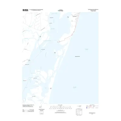
2013 Map of Kure Beach
USGS Topo · Published 2013About this map
Prices Creek Lighthouse stands as a sentinel along the western bank of the Cape Fear River, marking the complex maritime approach through shifting shoals and tidal marshes. This coastal corridor is defined by its deep-water channels and strategic locations, notably the Sunny Point Army Terminal and the settlement of Sunny Point. The landscape is a mosaic of narrow waterways like Walden Cr and Shellbed Cr, which wind around numerous islands such as Zekes Island and Shellbed Island. To the east, the residential streets of Kure Beach are oriented toward the Atlantic Ocean, separated from the river by the narrow peninsula at Federal Point. This map provides a detailed view of the interaction between military infrastructure, coastal residential growth, and the intricate estuary system that dominates the mouth of the river.
Find a feature on this map
47 named features on this map. Tap any name to fly to it.
Don’t see what you’re looking for? This feature index may not catch every label — zoom into the map to look around manually.
Map Details
Editions of this 2013 Kure Beach Map
This is the sole edition of this map. No revisions or reprints were ever made.
Other maps of this area

1942 · Wilmington
USGS Topo · 1:62,500

1942 · Cape Fear
USGS Topo · 1:24,000

1943 · Funston
USGS Topo · 1:24,000

1946 · Southport
USGS Topo · 1:24,000

1946 · Snow Marsh
USGS Topo · 1:24,000

1948 · Wilmington
USGS Topo · 1:62,500

1949 · Georgetown
USGS Topo · 1:250,000

1953 · Florence
USGS Topo · 1:250,000

1953 · Beaufort
USGS Topo · 1:250,000

1954 · Florence
USGS Topo · 1:250,000