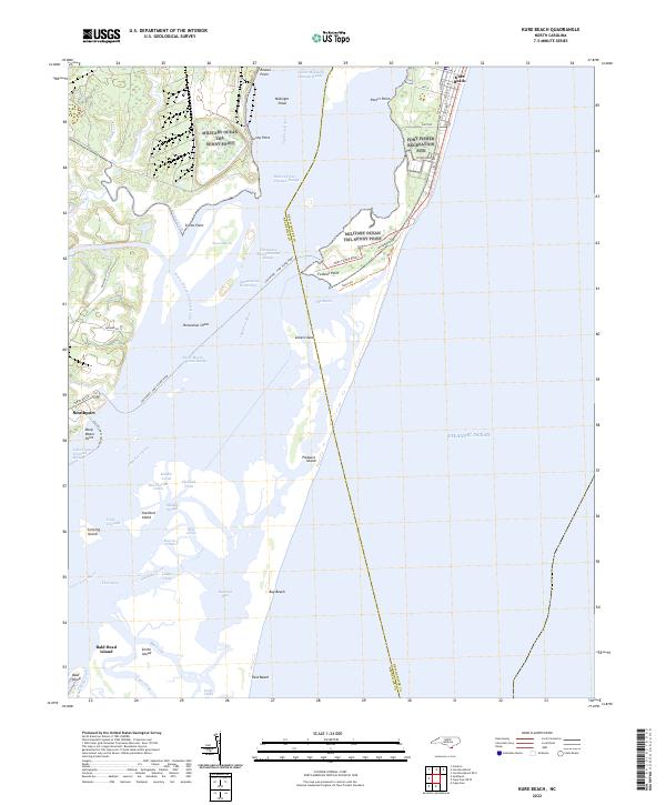
2022 Map of Kure Beach
USGS Topo · Published 2022About this map
Pleasure Island and the coastal marshes of the Cape Fear River define this barrier island landscape along the Atlantic coast. This modern survey illustrates the complex maritime geography where the river meets the Atlantic Ocean, featuring the primary transit routes such as the Southport - Fort Fisher Ferry and the Bald Head Island Ferry. The map details the residential grids of Kure Beach at the northern edge and the harbor of Southport to the west, separated by a vast network of sounds and channels including Snows Marsh and The Basin.
Find a feature on this map
67 named features on this map. Tap any name to fly to it.
Don’t see what you’re looking for? This feature index may not catch every label — zoom into the map to look around manually.
Map Details
Editions of this 2022 Kure Beach Map
This is the sole edition of this map. No revisions or reprints were ever made.
Other maps of this area

1942 · Wilmington
USGS Topo · 1:62,500

1942 · Cape Fear
USGS Topo · 1:24,000

1943 · Funston
USGS Topo · 1:24,000

1946 · Southport
USGS Topo · 1:24,000

1946 · Snow Marsh
USGS Topo · 1:24,000

1948 · Wilmington
USGS Topo · 1:62,500

1949 · Georgetown
USGS Topo · 1:250,000

1953 · Florence
USGS Topo · 1:250,000

1953 · Beaufort
USGS Topo · 1:250,000

1954 · Florence
USGS Topo · 1:250,000