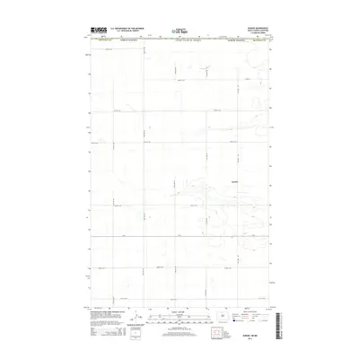
2014 Map of Kuroki
USGS Topo · Published 2014About this map
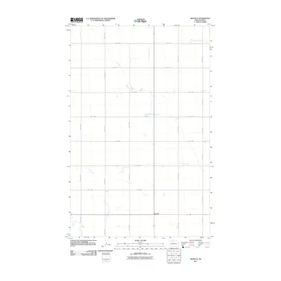
The settlement of Kuroki sits at the heart of this prairie landscape in Bottineau Co, North Dakota, positioned just south of the international border with the United States of America. The terrain is defined by a dense network of sectional roads and the glacial topography typical of the region, featuring numerous small depressions and water bodies. This 2014 survey captures the rural organization of the county, where long-established transportation routes like Cr-6 and 101st St NW intersect with a grid of avenues including 23rd Ave NW and 20th Ave NW. The map illustrates the persistent structure of agricultural land divisions and the strategic placement of the townsite within a vast, open expanse, providing a precise record of the local infrastructure near the Canadian border.
Find a feature on this map
18 named features on this map. Tap any name to fly to it.
Don’t see what you’re looking for? This feature index may not catch every label — zoom into the map to look around manually.
Map Details
Editions of this 2014 Kuroki Map
This is the sole edition of this map. No revisions or reprints were ever made.
Other maps of this area

1949 · Westhope SW
USGS Topo · 1:24,000

1950 · Westhope SW
USGS Topo · 1:24,000

1950 · Antler
USGS Topo · 1:24,000
1950 · Renville
USGS Topo · 1:24,000

1951 · Westhope SE
USGS Topo · 1:24,000
1951 · Kuroki
USGS Topo · 1:24,000
1951 · Westhope
USGS Topo · 1:24,000

1954 · Minot
USGS Topo · 1:250,000

1958 · Minot
USGS Topo · 1:250,000
2011 · Renville
USGS Topo · 1:24,000