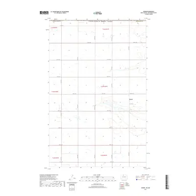
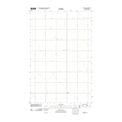
2017 Map of Kuroki
USGS Topo · Published 2017About this map
Kuroki sits at the heart of this North Dakota borderland, a landscape defined by its proximity to the United States of America / Canada boundary line. This 2017 survey reveals the highly organized township and range system that dictates the movement of travel through a network of cardinal-direction routes like 109th St NW and 22nd Ave NW. The presence of Oil Well Rd south of the central settlement hints at the local energy economy within Bottineau County. The terrain is characterized by numerous small, scattered wetlands and depressions typical of this northern prairie region, contrasting with the rigid grid of the section lines. This document captures the intersection of international borders and rural life in the American Great Plains.
Find a feature on this map
25 named features on this map. Tap any name to fly to it.
Don’t see what you’re looking for? This feature index may not catch every label — zoom into the map to look around manually.
Map Details
Editions of this 2017 Kuroki Map
This is the sole edition of this map. No revisions or reprints were ever made.
Other maps of this area

1949 · Westhope SW
USGS Topo · 1:24,000

1950 · Westhope SW
USGS Topo · 1:24,000

1950 · Antler
USGS Topo · 1:24,000
1950 · Renville
USGS Topo · 1:24,000

1951 · Westhope SE
USGS Topo · 1:24,000
1951 · Kuroki
USGS Topo · 1:24,000
1951 · Westhope
USGS Topo · 1:24,000

1954 · Minot
USGS Topo · 1:250,000

1958 · Minot
USGS Topo · 1:250,000
2011 · Renville
USGS Topo · 1:24,000