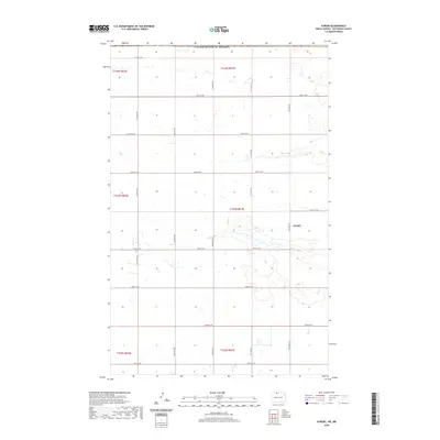
2020 Map of Kuroki
USGS Topo · Published 2020About this map
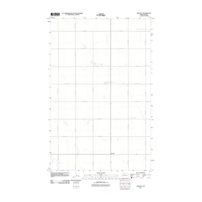
Kuroki serves as the primary point of interest in this section of Bottineau County, where the settlement is positioned within a landscape dominated by the Public Land Survey System’s grid. This survey emphasizes the high prairie character of North Dakota just south of the United States of America border with Canada. The terrain is defined by a dense network of sectional roads, including 109th St NW at the northern edge and 24th Ave NW running vertically through the townships. The map illustrates the specialized water drainage patterns of the region, where numerous small wetlands and basins are interspersed between the strictly ordered corridors of 105th St NW and 20th Ave NW. This intersection of natural topography and surveyor-driven geometry highlights the agrarian infrastructure that supports this northern borderland.
Find a feature on this map
22 named features on this map. Tap any name to fly to it.
Don’t see what you’re looking for? This feature index may not catch every label — zoom into the map to look around manually.
Map Details
Editions of this 2020 Kuroki Map
This is the sole edition of this map. No revisions or reprints were ever made.
Other maps of this area

1949 · Westhope SW
USGS Topo · 1:24,000

1950 · Westhope SW
USGS Topo · 1:24,000

1950 · Antler
USGS Topo · 1:24,000
1950 · Renville
USGS Topo · 1:24,000

1951 · Westhope SE
USGS Topo · 1:24,000
1951 · Kuroki
USGS Topo · 1:24,000
1951 · Westhope
USGS Topo · 1:24,000

1954 · Minot
USGS Topo · 1:250,000

1958 · Minot
USGS Topo · 1:250,000
2011 · Renville
USGS Topo · 1:24,000