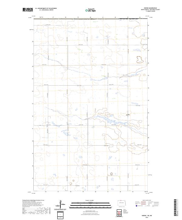
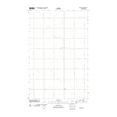
2024 Map of Kuroki
USGS Topo · Published 2024About this map
The prairie landscape of northern Bottineau County is defined by its rigorous sectional grid and numerous glacial wetlands. Near the center of the map, the small settlement of Kuroki sits just north of the Bottineau County Waterfowl Production Area, a protected habitat that occupies a significant portion of the terrain. This 2024 survey illustrates the region's enduring agricultural character, where a dense network of numbered gravel roads, such as 104th St NW and 22nd Ave NW, provides access to the vast open fields and low-lying depressions that dot the plains. Located just south of the border with the United States of America and Canada, the area remains a sparsely populated agricultural and conservation zone, where the natural hydrology of the potholes dictates the layout of the rural infrastructure.
Find a feature on this map
23 named features on this map. Tap any name to fly to it.
Don’t see what you’re looking for? This feature index may not catch every label — zoom into the map to look around manually.
Map Details
Editions of this 2024 Kuroki Map
This is the sole edition of this map. No revisions or reprints were ever made.
Other maps of this area

1949 · Westhope SW
USGS Topo · 1:24,000

1950 · Westhope SW
USGS Topo · 1:24,000

1950 · Antler
USGS Topo · 1:24,000
1950 · Renville
USGS Topo · 1:24,000

1951 · Westhope SE
USGS Topo · 1:24,000
1951 · Kuroki
USGS Topo · 1:24,000
1951 · Westhope
USGS Topo · 1:24,000

1954 · Minot
USGS Topo · 1:250,000

1958 · Minot
USGS Topo · 1:250,000
2011 · Renville
USGS Topo · 1:24,000