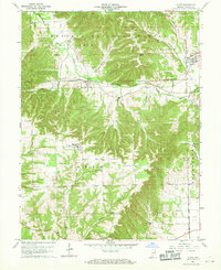
1959 Map of Kurtz
USGS Topo · Published 1961About this map
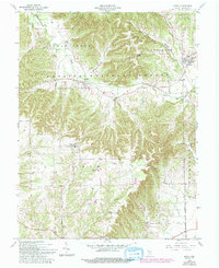
Kurtz sits at the northern edge of the Hoosier National Forest in this late-1950s survey of Jackson County. The landscape is defined by the heavy timber of the forest and the rail corridor of the Chicago Milwaukee St Paul and Pacific railroad, which tracks through the settlements of Kurtz and Freetown. The topography is etched by numerous drainage systems, including the South Fork Salt Creek and the southern Guthrie Creek, creating a series of deep hollows such as Blind Horse Hollow and Hound Hollow.
Find a feature on this map
44 named features on this map. Tap any name to fly to it.
Don’t see what you’re looking for? This feature index may not catch every label — zoom into the map to look around manually.
Map Details
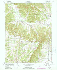
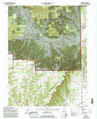
Editions of this 1959 Kurtz Map
7 editions found
Other maps of this area

1934 · Bedford
USGS Topo · 1:48,000

1937 · Bedford
USGS Topo · 1:62,500

1942 · Franklin
USGS Topo · 1:125,000

1947 · Elkinsville
USGS Topo · 1:24,000

1948 · Waymansville
USGS Topo · 1:24,000
1950 · Elkinsville
USGS Topo · 1:24,000

1953 · Indianapolis
USGS Topo · 1:250,000

1956 · Indianapolis
USGS Topo · 1:250,000

1956 · Story
USGS Topo · 1:24,000

1956 · Vincennes
USGS Topo · 1:250,000