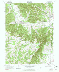
1959 Map of Kurtz
USGS Topo · Published 1978About this map
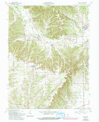
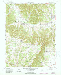
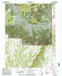
Freetown and the rail-stop of Kurtz anchor this mid-century portrait of Jackson County, where the valley of the South Fork Salt Creek cuts through the heavily timbered hills of the Hoosier National Forest. The landscape is defined by the east-west corridor of the Chicago Milwaukee St Paul and Pacific railroad, which provided a vital lifeline for small settlements and farms tucked into the hollows. Genealogists will find a wealth of local landmarks, including a high concentration of rural sanctuaries and burial grounds such as Cornett Cem Ch, Gorbetts Ch, and Mt Zion Ch. South of the forest boundary, the terrain opens into the agricultural lands surrounding Clear Spring, while northern drainages like Hound Hollow and Blind Horse Hollow illustrate the complex topography of the Pershing and Brownstown districts.
Find a feature on this map
31 named features on this map. Tap any name to fly to it.
Don’t see what you’re looking for? This feature index may not catch every label — zoom into the map to look around manually.
Map Details
Editions of this 1959 Kurtz Map
7 editions found
Other maps of this area

1934 · Bedford
USGS Topo · 1:48,000

1937 · Bedford
USGS Topo · 1:62,500

1942 · Franklin
USGS Topo · 1:125,000

1947 · Elkinsville
USGS Topo · 1:24,000

1948 · Waymansville
USGS Topo · 1:24,000
1950 · Elkinsville
USGS Topo · 1:24,000

1953 · Indianapolis
USGS Topo · 1:250,000

1956 · Indianapolis
USGS Topo · 1:250,000

1956 · Story
USGS Topo · 1:24,000

1956 · Vincennes
USGS Topo · 1:250,000