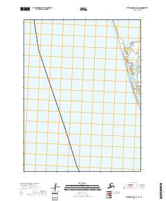
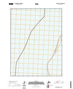
2018 Map of Kuskokwim Bay A-1 NE
USGS Topo · Published 2018About this map
Pacific Ocean waters dominate this coastal quadrangle along the Alaskan shoreline. The map delineates the transition from open sea to the complex network of wetlands and intertidal zones characteristic of the Bethel Census Area coast. While largely open water, the sheet reveals the intricate natural hydrology of the shoreline as it stood in the early 21st century. Surveyed boundaries for t11s r76w and t12s r76w provide essential markers for researchers and land managers tracking coastal changes or legal subdivisions in this maritime environment. The detailed hydrography, sourced from data spanning 2003 to 2016, captures the fluid nature of the Alaskan coast before more recent shifts in sea level and terrain.
Find a feature on this map
3 named features on this map. Tap any name to fly to it.
Don’t see what you’re looking for? This feature index may not catch every label — zoom into the map to look around manually.
Map Details
Editions of this 2018 Kuskokwim Bay A-1 NE Map
This is the sole edition of this map. No revisions or reprints were ever made.
Other maps of this area

1951 · Kuskokwim Bay
USGS Topo · 1:250,000

1951 · Goodnews
USGS Topo · 1:250,000

1954 · Goodnews A-8
USGS Topo · 1:63,360

1954 · Kuskokwim Bay
USGS Topo · 1:250,000

1954 · Goodnews B-8
USGS Topo · 1:63,360

1979 · Goodnews Bay
USGS Topo · 1:250,000
2017 · Goodnews Bay B-8 SW
USGS Topo · 1:25,000
2017 · Goodnews Bay A-8 NW
USGS Topo · 1:25,000
2017 · Goodnews Bay A-8 SW
USGS Topo · 1:25,000
2018 · Kuskokwim Bay B-1 SE
USGS Topo · 1:25,000