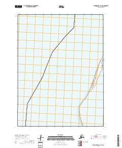
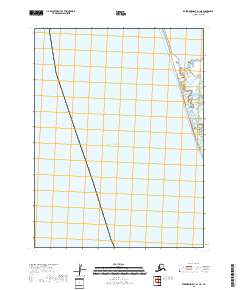
2018 Map of Kuskokwim Bay B-1 SE
USGS Topo · Published 2018About this map
Pacific Ocean waters dominate this 2018 coastal survey of the Bethel Census Area. The map highlights a critical maritime and wilderness boundary, defined by the Public Land Survey System grids of t10s r76w and t11s r76w. The shoreline, though minimal on this specific sheet, represents the edge of the remote Kuskokwim Bay region, where the vastness of the water meets the tidal extremities of the Alaskan coast. This document serves as a precise record of the maritime topography and administrative boundaries as they existed in the late 2010s, utilizing data from the National Hydrography Dataset and the National Elevation Dataset.
Find a feature on this map
3 named features on this map. Tap any name to fly to it.
Don’t see what you’re looking for? This feature index may not catch every label — zoom into the map to look around manually.
Map Details
Editions of this 2018 Kuskokwim Bay B-1 SE Map
This is the sole edition of this map. No revisions or reprints were ever made.
Other maps of this area

1951 · Kuskokwim Bay
USGS Topo · 1:250,000

1951 · Goodnews
USGS Topo · 1:250,000

1954 · Goodnews A-8
USGS Topo · 1:63,360

1954 · Kuskokwim Bay
USGS Topo · 1:250,000

1954 · Goodnews B-8
USGS Topo · 1:63,360

1979 · Goodnews Bay
USGS Topo · 1:250,000
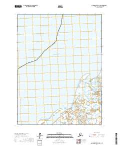
2017 · Goodnews Bay B-8 NW
USGS Topo · 1:25,000
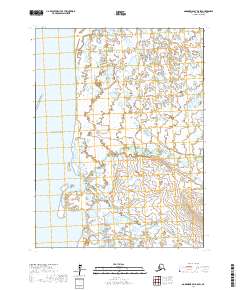
2017 · Goodnews Bay B-8 SW
USGS Topo · 1:25,000
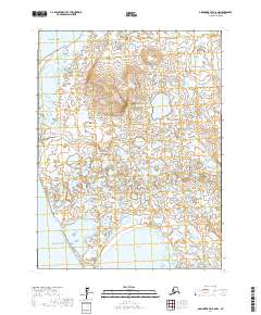
2017 · Goodnews Bay A-8 NW
USGS Topo · 1:25,000
2018 · Kuskokwim Bay A-1 NE
USGS Topo · 1:25,000