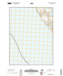
2018 Map of Kuskokwim Bay D-1 SE
USGS Topo · Published 2018About this map
Warehouse Bluff stands as a prominent coastal landmark overlooking the vast waters of the Pacific Ocean in this 2018 survey of the Bethel Census Area. The map highlights the complex maritime geography of the region, including the Warehouse Channel and the winding course of Weeling Cr as it meets the shoreline. The landscape is primarily defined by its hydrographic features and the systematic division of public lands, as seen through the township and range boundaries of t3s r74w and t4s r74w. This specific chart provides a clear view of the coastline before any modern development, focusing on the natural transition from the open sea to the inland wetlands and creeks that characterize the Kuskokwim Bay environment.
Find a feature on this map
8 named features on this map. Tap any name to fly to it.
Don’t see what you’re looking for? This feature index may not catch every label — zoom into the map to look around manually.
Map Details
Editions of this 2018 Kuskokwim Bay D-1 SE Map
This is the sole edition of this map. No revisions or reprints were ever made.
Other maps of this area

1951 · Kuskokwim Bay
USGS Topo · 1:250,000

1951 · Goodnews
USGS Topo · 1:250,000

1954 · Kuskokwim Bay
USGS Topo · 1:250,000
1954 · Goodnews D-8
USGS Topo · 1:63,360
1954 · Kuskokwim Bay D-1
USGS Topo · 1:63,360
1954 · Goodnews C-8
USGS Topo · 1:63,360

1979 · Goodnews Bay
USGS Topo · 1:250,000
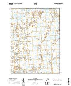
2017 · Goodnews Bay D-8 NW
USGS Topo · 1:25,000
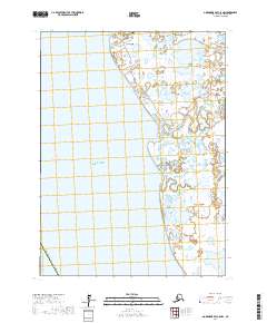
2017 · Goodnews Bay C-8 NW
USGS Topo · 1:25,000
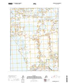
2017 · Goodnews Bay D-8 SW
USGS Topo · 1:25,000