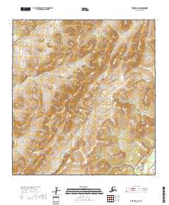
2018 Map of Kwiguk C-1 SW
USGS Topo · Published 2018About this map
North Peak serves as a central landmark in this remote corner of the Alaska wilderness, where the high ground transitions into complex drainage patterns. The southeastern corner is defined by the winding path of the East Fork Andreafsky River, a vital watercourse in this roadless region. This 2018 survey documents the intricate network of wetlands and seasonal ponds that dominate the low-lying sections between prominent ridges. The map provides a detailed view of the terrain within the Kusilvak Census Area, following the township lines of t29n r70w and t28n r70w. By focusing on the elevation contours and the natural hydrology of the river system, the document captures the raw geography of the subarctic landscape before any modern infrastructure development.
Find a feature on this map
6 named features on this map. Tap any name to fly to it.
Don’t see what you’re looking for? This feature index may not catch every label — zoom into the map to look around manually.
Map Details
Editions of this 2018 Kwiguk C-1 SW Map
This is the sole edition of this map. No revisions or reprints were ever made.
Other maps of this area

1952 · Kwiguk
USGS Topo · 1:250,000

1952 · Kwiguk B-2
USGS Topo · 1:63,360

1952 · Kwiguk C-2
USGS Topo · 1:63,360

1952 · Kwiguk B-1
USGS Topo · 1:63,360

1952 · Kwiguk C-1
USGS Topo · 1:63,360
2018 · Kwiguk C-1 NW
USGS Topo · 1:25,000
2018 · Kwiguk C-2 SE
USGS Topo · 1:25,000
2018 · Kwiguk C-2 NE
USGS Topo · 1:25,000
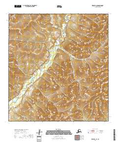
2018 · Kwiguk C-1 SE
USGS Topo · 1:25,000
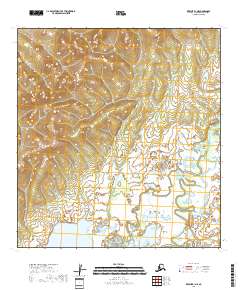
2018 · Kwiguk B-1 NE
USGS Topo · 1:25,000