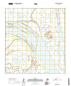
2020 Map of Kwiguk C-5 NE
USGS Topo · Published 2020About this map
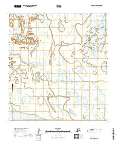
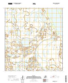
The Yukon River dominates this portion of the Kusilvak Census Area, carved by a shifting network of braided channels and side-passages. This 2020 topographic record illustrates the intricate hydrology of the delta, where major waterways like Aproka Pass diverge from the main stem. The landscape is defined by its seasonal fluidness, with numerous named waterways such as Takwaklanuk Slough and Akogpak Slough threading through the wetlands. These sloughs, including Kwimliltha Slough and Noringolapak Slough, reveal the natural drainage patterns critical to navigating this roadless environment. For those studying the lower Yukon basin, the map provides precise positioning of these volatile water features within the established Public Land Survey System grids.
Find a feature on this map
13 named features on this map. Tap any name to fly to it.
Don’t see what you’re looking for? This feature index may not catch every label — zoom into the map to look around manually.
Map Details
Editions of this 2020 Kwiguk C-5 NE Map
This is the sole edition of this map. No revisions or reprints were ever made.
Other maps of this area

1952 · Kwiguk
USGS Topo · 1:250,000

1952 · Kwiguk C-4
USGS Topo · 1:63,360

1952 · Kwiguk C-5
USGS Topo · 1:63,360

1952 · Kwiguk D-5
USGS Topo · 1:63,360

1952 · Kwiguk D-4
USGS Topo · 1:63,360
2020 · Kwiguk D-4 SW
USGS Topo · 1:25,000
2020 · Kwiguk C-4 NW
USGS Topo · 1:25,000
2020 · Kwiguk C-4 SW
USGS Topo · 1:25,000
2020 · Kwiguk D-5 SW
USGS Topo · 1:25,000
2020 · Kwiguk C-5 SE
USGS Topo · 1:25,000