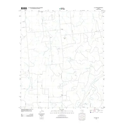
2012 Map of La Casa
USGS Topo · Published 2012About this map
La Casa sits at the intersection of FM-207 and Co RD-129 in Stephens County, serving as a focal point for a landscape defined by ranching and a dense network of creek systems. The geography is characterized by the branching drainage of Caddo Cr and Cottonwood Cr, with the La Casa Valley Boys Ranch established just south of the main settlement. Further north, the Mt Zion Cem remains a significant genealogical landmark for local families, while the small community of Frankell anchors the northern boundary near the banks of Cedar Cr. In the southern portion of the quadrangle, the settlement of Bullock marks the junction of Ranch Road 717 and Co RD-117. This 2012 survey illustrates the enduring rural structure of North Central Texas, where cattle guards and county roads connect isolated farmsteads across the watersheds of Palo Pinto Cr and the Ioni Cr.
Find a feature on this map
37 named features on this map. Tap any name to fly to it.
Don’t see what you’re looking for? This feature index may not catch every label — zoom into the map to look around manually.
Map Details
Editions of this 2012 La Casa Map
This is the sole edition of this map. No revisions or reprints were ever made.
Other maps of this area

1890 · Breckenridge
USGS Topo · 1:125,000

1894 · Eastland
USGS Topo · 1:125,000

1954 · Abilene
USGS Topo · 1:250,000

1958 · Abilene
USGS Topo · 1:250,000
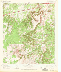
1966 · Bear Mountain
USGS Topo · 1:24,000

1966 · Eastland
USGS Topo · 1:24,000

1966 · Ranger
USGS Topo · 1:24,000
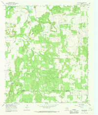
1967 · Wayland
USGS Topo · 1:24,000

1967 · Necessity
USGS Topo · 1:24,000
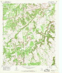
1967 · Caddo NE
USGS Topo · 1:24,000