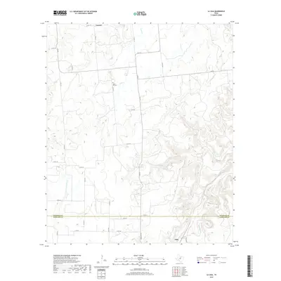
2019 Map of La Casa
USGS Topo · Published 2019About this map
Mount Zion Cem sits at the headwaters of Caddo Cr in a landscape defined by the drainage divide between the Brazos and Colorado River basins. The terrain is deeply dissected by numerous watercourses, including Cottonwood Cr and Palo Pinto Cr, which carve through the ranch lands of the North Central Texas hill country. This 2019 survey documents the rural character of the border between Stephens and Eastland counties, where the small community of Frankell is positioned in the northern reaches and Tiffin marks the southern edge near the county line. The map reveals a dense network of farm-to-market and county roads, such as FM 717 and Co RD 126, which follow the natural contours of the ridges to connect isolated ranchsteads and local landmarks.
Find a feature on this map
34 named features on this map. Tap any name to fly to it.
Don’t see what you’re looking for? This feature index may not catch every label — zoom into the map to look around manually.
Map Details
Editions of this 2019 La Casa Map
This is the sole edition of this map. No revisions or reprints were ever made.
Other maps of this area

1890 · Breckenridge
USGS Topo · 1:125,000

1894 · Eastland
USGS Topo · 1:125,000

1954 · Abilene
USGS Topo · 1:250,000

1958 · Abilene
USGS Topo · 1:250,000
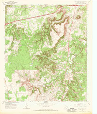
1966 · Bear Mountain
USGS Topo · 1:24,000

1966 · Eastland
USGS Topo · 1:24,000

1966 · Ranger
USGS Topo · 1:24,000
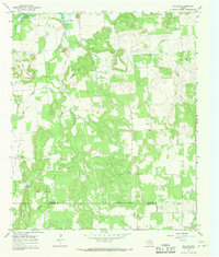
1967 · Wayland
USGS Topo · 1:24,000

1967 · Necessity
USGS Topo · 1:24,000
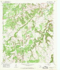
1967 · Caddo NE
USGS Topo · 1:24,000