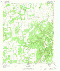
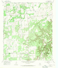
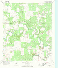
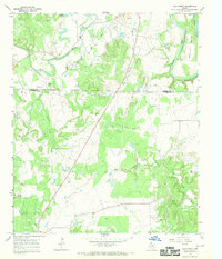
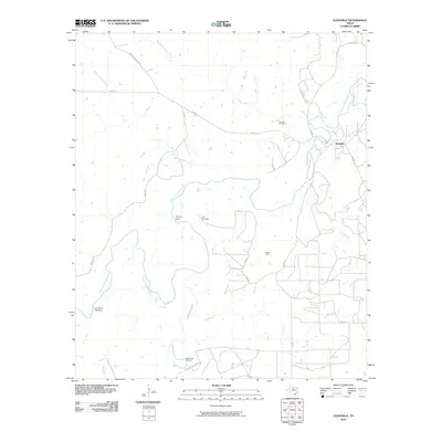
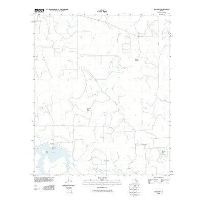
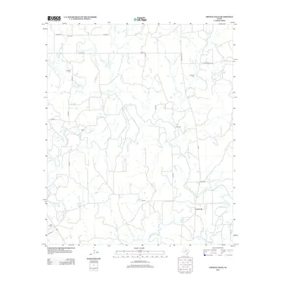
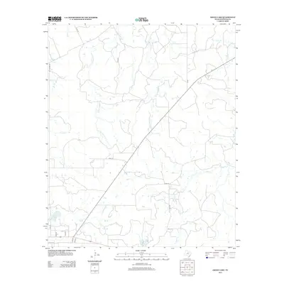
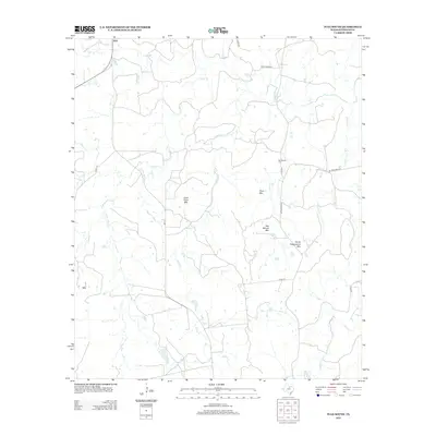
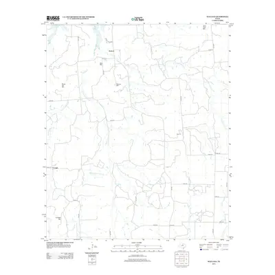
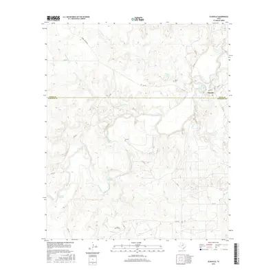
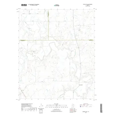
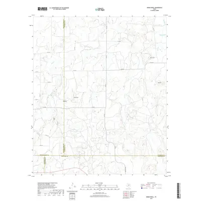
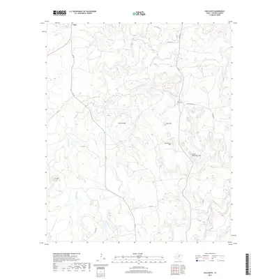
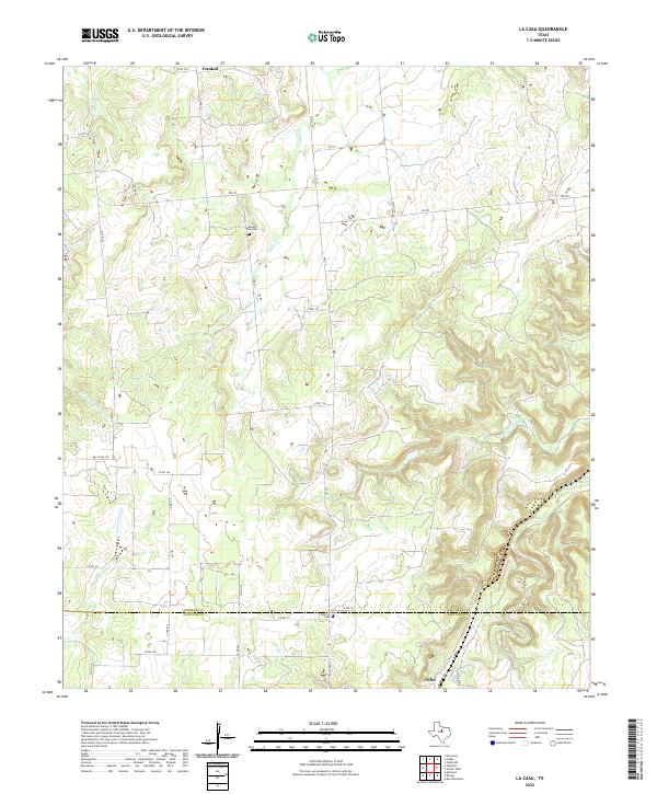
1967 Map of La Casa
USGS Topo · Published 1979About this map
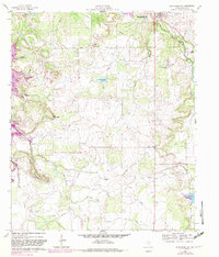
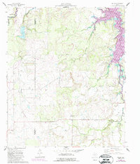
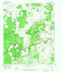
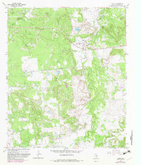
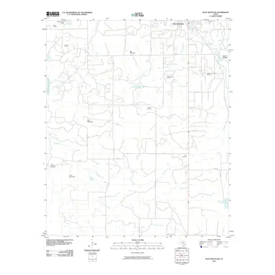
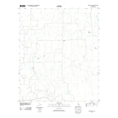
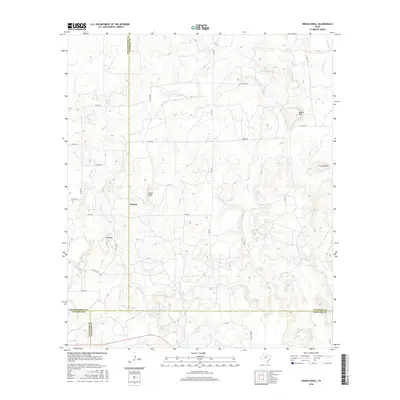
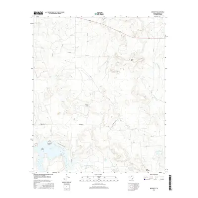
The boundary between Stephens and Eastland Counties anchors this 1960s survey, capturing a landscape defined by ranching and resource extraction. The community of La Casa serves as a central point, surrounded by evidence of the region's economic drivers, including numerous Oil Wells and a network of Gravel Pits. Local social life and genealogy are reflected in the presence of Mt Zion Church and the nearby Mt Zion Cemetery, while the La Casa Valley Boys Ranch occupies a prominent position in the valley. Transport history is visible through the Old Railroad Grade winding through the terrain toward the settlement of Bullock. The drainage patterns of Caddo Creek and Cottonwood Creek carve through the topography, illustrating the natural watercourses that shaped the development of early Texas cattle country near Tiffin and Frankell.
Find a feature on this map
27 named features on this map. Tap any name to fly to it.
Don’t see what you’re looking for? This feature index may not catch every label — zoom into the map to look around manually.
Map Details
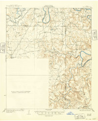
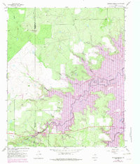
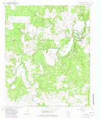
Editions of this 1967 La Casa Map
2 editions found
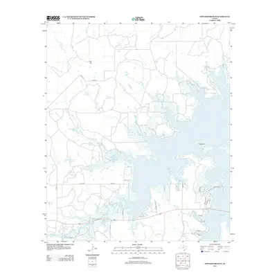
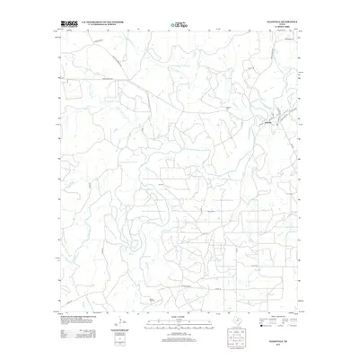
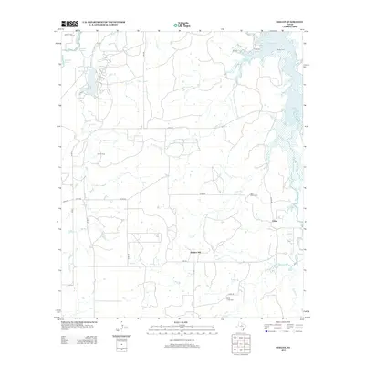
Historical Maps of Bullock Through Time
92 maps found

1925 Breckenridge 1-b
Stephens County, TX
1931 Ivan
Stephens County, TX
1958 Edwards Branch
Stephens County, TX
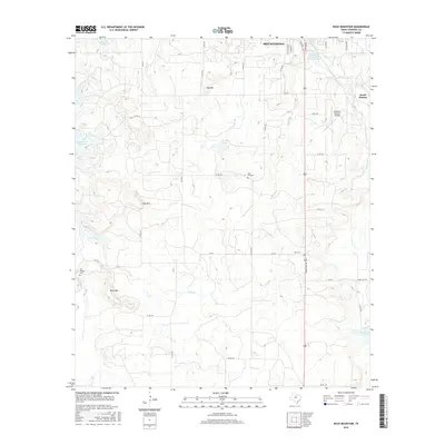
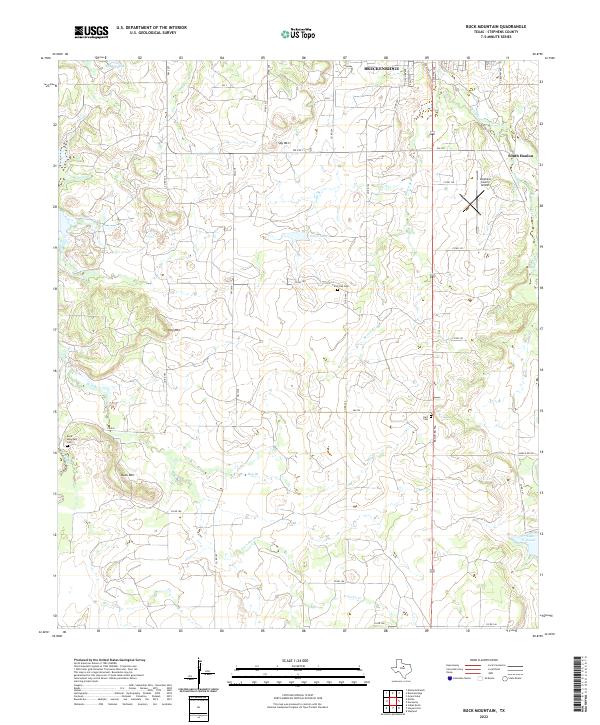
1961 Buck Mountain
Stephens County, TX
1961 Eolian
Stephens County, TX

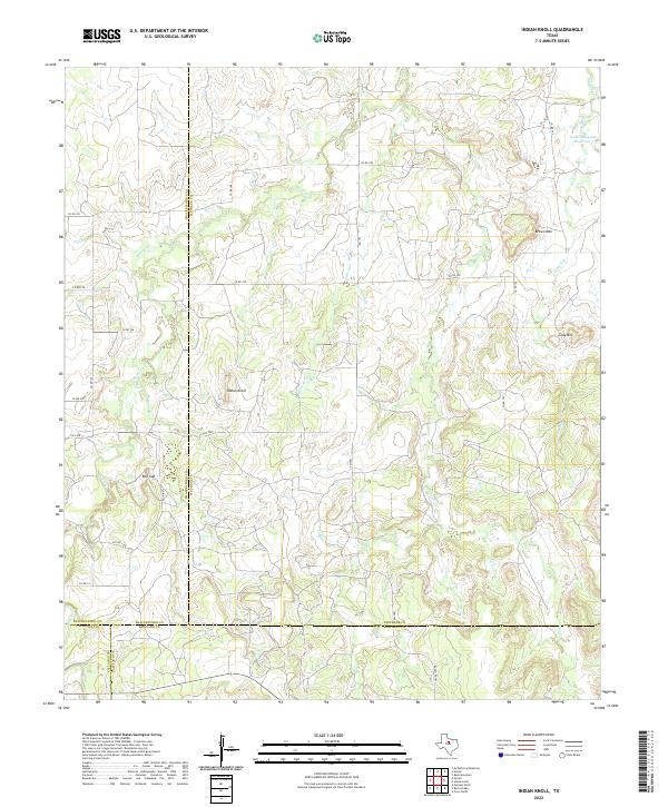
1965 Indian Knoll
Stephens County, TX
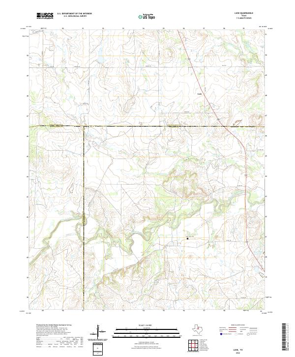
1965 Lusk
Stephens County, TX
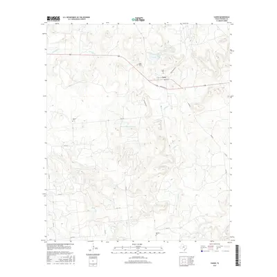
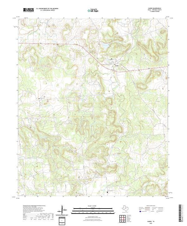
1967 Caddo
Stephens County, TX
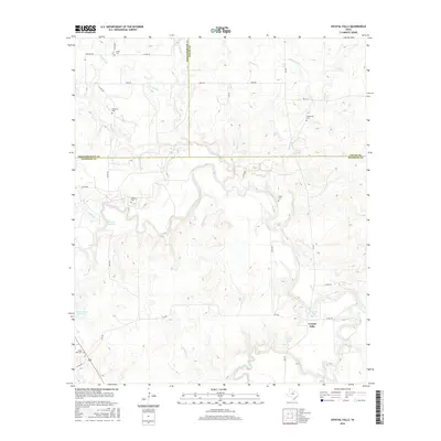
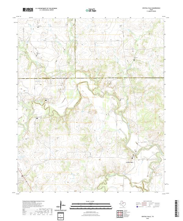
1967 Crystal Falls
Stephens County, TX
1967 Eliasville
Stephens County, TX
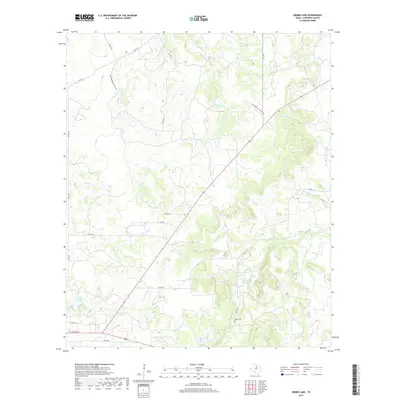
1967 Grand Lake
Stephens County, TX
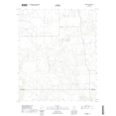
1967 Harpersville
Stephens County, TX
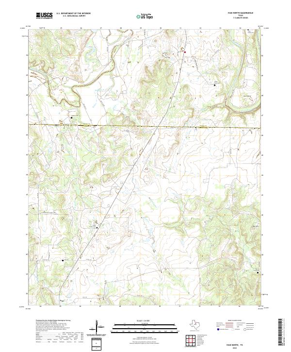
1967 Ivan North
Stephens County, TX
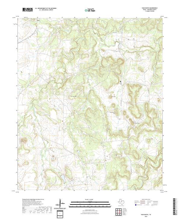
1967 Ivan South
Stephens County, TX
1967 La Casa
Stephens County, TX
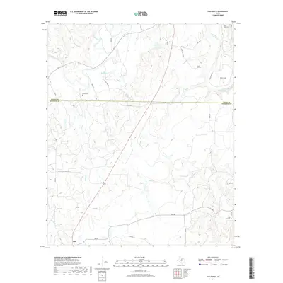
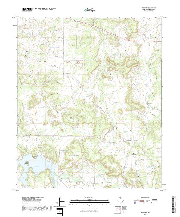
1967 Necessity
Stephens County, TX
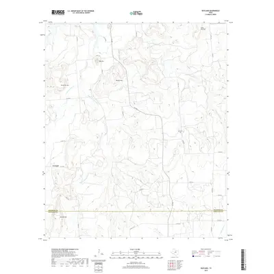
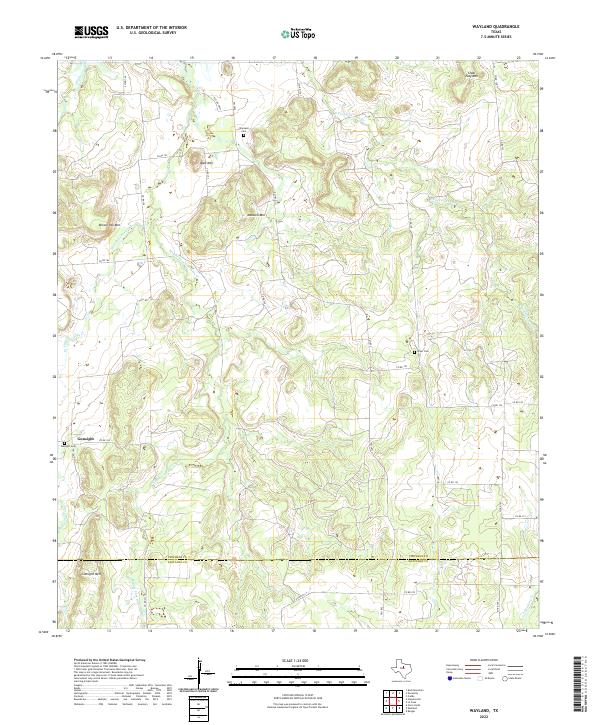
1967 Wayland
Stephens County, TX
2010 Buck Mountain
Stephens County, TX
2010 Caddo
Stephens County, TX
2010 Crystal Falls
Stephens County, TX
2010 Edwards Branch
Stephens County, TX
2010 Eliasville
Stephens County, TX
2010 Eolian
Stephens County, TX
2010 Grand Lake
Stephens County, TX
2010 Harpersville
Stephens County, TX
2010 Indian Knoll
Stephens County, TX
2010 Ivan North
Stephens County, TX
2010 Ivan South
Stephens County, TX
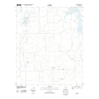
2010 La Casa
Stephens County, TX

2010 Lusk
Stephens County, TX
2010 Necessity
Stephens County, TX
2011 Wayland
Stephens County, TX
2012 Buck Mountain
Stephens County, TX
2012 Caddo
Stephens County, TX
2012 Crystal Falls
Stephens County, TX
2012 Edwards Branch
Stephens County, TX
2012 Eliasville
Stephens County, TX
2012 Eolian
Stephens County, TX
2012 Grand Lake
Stephens County, TX
2012 Harpersville
Stephens County, TX
2012 Indian Knoll
Stephens County, TX
2012 Ivan North
Stephens County, TX
2012 Ivan South
Stephens County, TX
2012 La Casa
Stephens County, TX
2012 Lusk
Stephens County, TX
2012 Necessity
Stephens County, TX
2012 Wayland
Stephens County, TX
2016 Buck Mountain
Stephens County, TX
2016 Caddo
Stephens County, TX
2016 Crystal Falls
Stephens County, TX

2016 Edwards Branch
Stephens County, TX
2016 Eliasville
Stephens County, TX
2016 Eolian
Stephens County, TX
2016 Grand Lake
Stephens County, TX
2016 Harpersville
Stephens County, TX
2016 Indian Knoll
Stephens County, TX
2016 Ivan North
Stephens County, TX

2016 Ivan South
Stephens County, TX
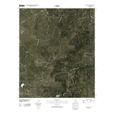
2016 La Casa
Stephens County, TX
2016 Lusk
Stephens County, TX
2016 Necessity
Stephens County, TX
2016 Wayland
Stephens County, TX
2019 Buck Mountain
Stephens County, TX
2019 Caddo
Stephens County, TX
2019 Crystal Falls
Stephens County, TX
2019 Edwards Branch
Stephens County, TX
2019 Eliasville
Stephens County, TX
2019 Eolian
Stephens County, TX
2019 Grand Lake
Stephens County, TX
2019 Harpersville
Stephens County, TX
2019 Indian Knoll
Stephens County, TX
2019 Ivan North
Stephens County, TX
2019 Ivan South
Stephens County, TX
2019 La Casa
Stephens County, TX
2019 Lusk
Stephens County, TX
2019 Necessity
Stephens County, TX
2019 Wayland
Stephens County, TX
2022 Buck Mountain
Stephens County, TX
2022 Caddo
Stephens County, TX
2022 Crystal Falls
Stephens County, TX
2022 Edwards Branch
Stephens County, TX
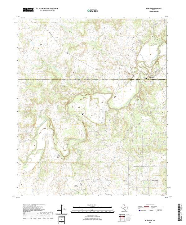
2022 Eliasville
Stephens County, TX
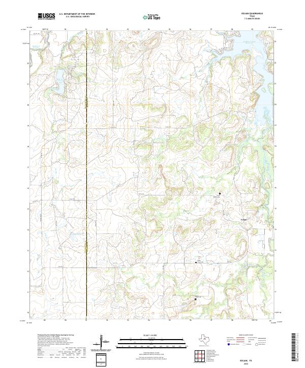
2022 Eolian
Stephens County, TX

2022 Grand Lake
Stephens County, TX
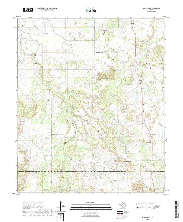
2022 Harpersville
Stephens County, TX
2022 Indian Knoll
Stephens County, TX
2022 Ivan North
Stephens County, TX
2022 Ivan South
Stephens County, TX
2022 La Casa
Stephens County, TX
2022 Lusk
Stephens County, TX
2022 Necessity
Stephens County, TX
2022 Wayland
Stephens County, TX