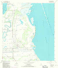
1955 Map of La Coma
USGS Topo · Published 1970About this map
The Laguna Atascosa National Wildlife Refuge dominates this coastal landscape, where the saltwater environment of Laguna Madre meets the intricate freshwater network of South Texas resacas. Tracing the historic hydrology of the region, the map shows the winding Resaca de los Cuates and Resaca de la Gringa cutting through the brush country toward Stover Cove. These former river channels illustrate the complex drainage patterns vital to both early ranching and later conservation efforts.
Find a feature on this map
35 named features on this map. Tap any name to fly to it.
Don’t see what you’re looking for? This feature index may not catch every label — zoom into the map to look around manually.
Map Details
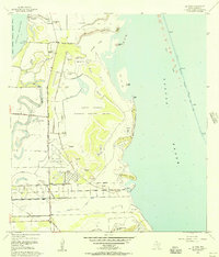
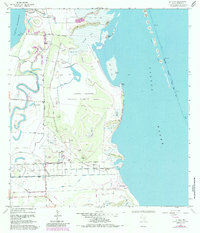
Editions of this 1955 La Coma Map
3 editions found
Other maps of this area

1929 · La Coma
USGS Topo · 1:24,000

1929 · Point Isabel
USGS Topo · 1:24,000

1929 · Buena Vista
USGS Topo · 1:24,000

1929 · Laguna Vista
USGS Topo · 1:24,000

1930 · Padre Island No. 1
USGS Topo · 1:24,000

1930 · Los Fresnos
USGS Topo · 1:24,000

1930 · La Leona
USGS Topo · 1:24,000

1930 · Padre Island No. 2
USGS Topo · 1:24,000

1930 · Laguna Atascosa
USGS Topo · 1:24,000

1934 · Port Isabel
USGS Topo · 1:31,680