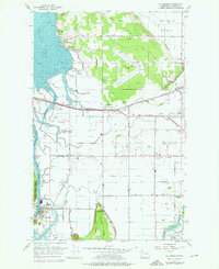
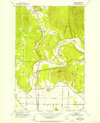
1956 Map of La Conner
USGS Topo · Published 1976About this map
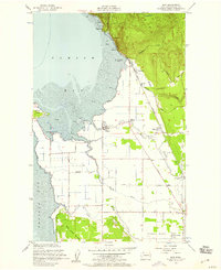
Swinomish Channel serves as the central artery for this coastal landscape, separating Fidalgo Island from the agricultural flats of the mainland. The 1956 topography, with revisions through the early 1970s, reveals a network of sloughs including Indian Slough, Telegraph Slough, and Higgins Slough that drain the fertile lowlands. The importance of education and community history is evident in the presence of the Pioneer Monument and several educational landmarks, including High Sch in La Conner and the defunct Pleasant Ridge Sch (Aband) and Harmony Sch (Aband). Transport patterns are defined by the Northern Pacific railroad line passing through Whitney and Fredonia, connecting the rural interior to the maritime hub at Bay View. The varied elevation of Bay View Ridge contrasts with the surrounding diked marshes, illustrating how the region managed its complex water systems for development and farming.
Find a feature on this map
45 named features on this map. Tap any name to fly to it.
Don’t see what you’re looking for? This feature index may not catch every label — zoom into the map to look around manually.
Map Details
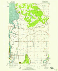
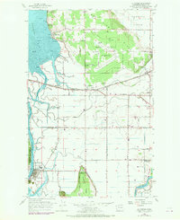
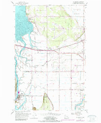
Editions of this 1956 La Conner Map
4 editions found
Other maps of this area

1911 · Mount Vernon
USGS Topo · 1:125,000

1918 · Samish Lake
USGS Topo · 1:62,500

1940 · Mt Vernon
USGS Topo · 1:62,500

1943 · Mt Vernon
USGS Topo · 1:62,500

1943 · Deception Pass
USGS Topo · 1:62,500

1943 · Anacortes
USGS Topo · 1:62,500

1951 · Deception Pass
USGS Topo · 1:62,500

1951 · Anacortes
USGS Topo · 1:62,500
1952 · Alger
USGS Topo · 1:24,000
1954 · Bow
USGS Topo · 1:24,000