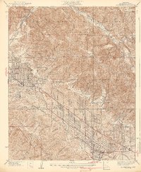
1939 Map of La Crescenta
USGS Topo · Published 1939About this map
Hillcrest Sanitarium stands as a prominent landmark on the slopes above the burgeoning suburban developments of the Crescenta Valley in the late 1930s. This survey reveals a landscape in transition, where the wild terrain of the San Gabriel Mountains and the Angeles National Forest meets the expanding grid of La Crescenta and Montrose. The settlement pattern follows the alluvial fans at the base of the mountains, with neighborhoods like Highway Highlands and Verdugo City clustered along major arteries such as Foothill Boulevard. The map captures the era before massive freeway expansion, where travel relied on local routes like Honolulu Ave and Verdugo Road. Further into the canyons, smaller outposts such as Burbank Camp, Vogel Flat, and Big Tujunga Ranch indicate a scattered habitation of the more remote areas, while the Mt Lukens Lookout provides a critical vantage point over the forest and the neighboring City of Burbank.
Find a feature on this map
70 named features on this map. Tap any name to fly to it.
Don’t see what you’re looking for? This feature index may not catch every label — zoom into the map to look around manually.
Map Details
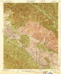
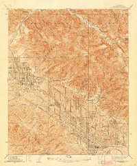
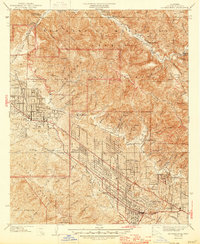
Editions of this 1939 La Crescenta Map
4 editions found
Other maps of this area

1894 · Los Angeles
USGS Topo · 1:62,500

1896 · Pasadena
USGS Topo · 1:62,500

1896 · Santa Monica
USGS Topo · 1:62,500

1898 · Santa Monica
USGS Topo · 1:62,500

1900 · Pasadena
USGS Topo · 1:62,500

1900 · Tujunga
USGS Topo · 1:62,500

1900 · Los Angeles
USGS Topo · 1:62,500

1900 · Fernando
USGS Topo · 1:62,500

1901 · Southern California Sheet No. 1
USGS Topo · 1:250,000

1902 · Santa Monica
USGS Topo · 1:62,500