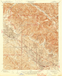
1939 Map of La Crescenta
USGS Topo · Published 1946About this map
Mt Lukens and the Big Gabriel Mountains dominate the northern terrain of this 1930s survey, showing the steep canyons and firebreaks of the Los Angeles National Forest. Below the mountain front, the communities of Tujunga, La Crescenta, and La Cañada are seen in a period of rapid suburban expansion along Foothill Blvd. The map reveals a landscape still transitioning from rural ranching to residential development, with landmarks like the Hillcrest Sanitarium and various mountain camps such as Camp Sterling and the Burbank YMCA Camp situated at the forest edge.
Find a feature on this map
74 named features on this map. Tap any name to fly to it.
Don’t see what you’re looking for? This feature index may not catch every label — zoom into the map to look around manually.
Map Details
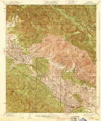
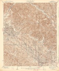
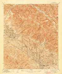
Editions of this 1939 La Crescenta Map
4 editions found
Other maps of this area

1894 · Los Angeles
USGS Topo · 1:62,500

1896 · Pasadena
USGS Topo · 1:62,500

1896 · Santa Monica
USGS Topo · 1:62,500

1898 · Santa Monica
USGS Topo · 1:62,500

1900 · Pasadena
USGS Topo · 1:62,500

1900 · Tujunga
USGS Topo · 1:62,500

1900 · Los Angeles
USGS Topo · 1:62,500

1900 · Fernando
USGS Topo · 1:62,500

1901 · Southern California Sheet No. 1
USGS Topo · 1:250,000

1902 · Santa Monica
USGS Topo · 1:62,500