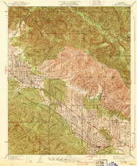
1939 Map of La Crescenta
USGS Topo · Published 1939About this map
San Gabriel Mountains and the Verdugo Mountains define this topographic survey of the Crescenta Valley during a period of significant suburban development. The map details the transition from the wilderness of the Los Angeles National Forest to established foothill communities. Large institutions like the Hillcrest Sanitarium sit near the mouth of Blanchard Canyon, reflecting the era's reputation of the area as a health retreat. The grid of Tujunga and La Crescenta is well-defined by 1939, with prominent thoroughfares such as Foothill Boulevard and Honolulu Ave serving as the primary connectors between Verdugo City, Montrose, and La Cañada. Remote outposts like the Big Tujunga Guard Station and the Burbank YMCA Camp illustrate the recreational and administrative use of the high canyons, while numerous named drainages like Pickens Canyon and Haines Canyon show the complex watershed management necessary for these mountain-front settlements.
Find a feature on this map
70 named features on this map. Tap any name to fly to it.
Don’t see what you’re looking for? This feature index may not catch every label — zoom into the map to look around manually.
Map Details
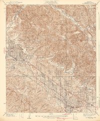
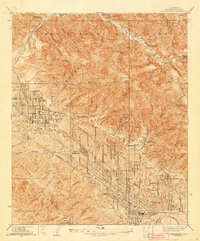
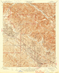
Editions of this 1939 La Crescenta Map
4 editions found
Other maps of this area

1894 · Los Angeles
USGS Topo · 1:62,500

1896 · Pasadena
USGS Topo · 1:62,500

1896 · Santa Monica
USGS Topo · 1:62,500

1898 · Santa Monica
USGS Topo · 1:62,500

1900 · Pasadena
USGS Topo · 1:62,500

1900 · Tujunga
USGS Topo · 1:62,500

1900 · Los Angeles
USGS Topo · 1:62,500

1900 · Fernando
USGS Topo · 1:62,500

1901 · Southern California Sheet No. 1
USGS Topo · 1:250,000

1902 · Santa Monica
USGS Topo · 1:62,500