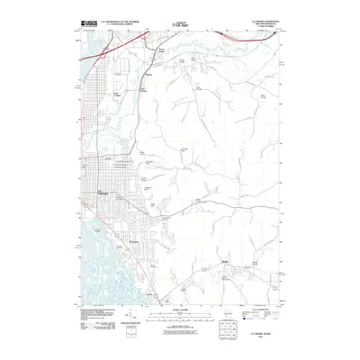
2010 Map of La Crosse
USGS Topo · Published 2010About this map
La Crosse and its surrounding driftless topography are documented here in detail, showing a landscape defined by the winding La Crosse River and a series of prominent bluffs. The urban core includes landmarks like the University of Wisconsin and the La Crosse Post Office, while the city's eastern expansion is checked by steep terrain features such as Granddad Bluff, Cliffwood Bluff, and Miller Bluff.
Find a feature on this map
67 named features on this map. Tap any name to fly to it.
Don’t see what you’re looking for? This feature index may not catch every label — zoom into the map to look around manually.
Map Details
Editions of this 2010 La Crosse Map
This is the sole edition of this map. No revisions or reprints were ever made.
Other maps of this area

1926 · Stoddard
USGS Topo · 1:62,500

1927 · La Crosse
USGS Topo · 1:62,500

1930 · La Crescent
USGS Topo · 1:62,500

1930 · La Crosse
USGS Topo · 1:62,500

1956 · Brownsville
USGS Topo · 1:62,500

1956 · La Crescent
USGS Topo · 1:62,500

1958 · La Crosse
USGS Topo · 1:250,000

1961 · La Crosse
USGS Topo · 1:250,000
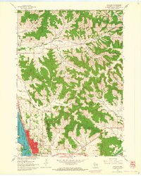
1963 · Onalaska
USGS Topo · 1:24,000
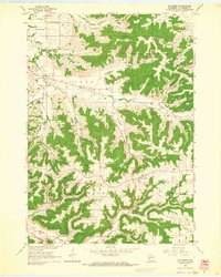
1963 · St. Joseph
USGS Topo · 1:24,000