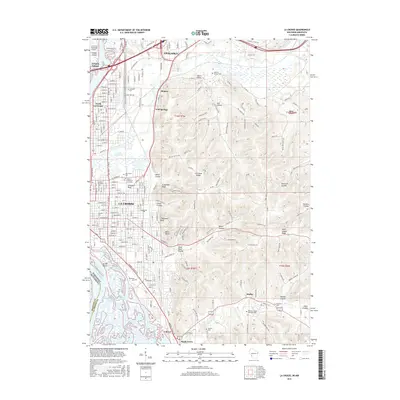
2015 Map of La Crosse
USGS Topo · Published 2015About this map
La Crosse sits prominently along the eastern banks of the Mississippi River, where the state lines of Wisconsin and Minnesota meet. This mid-2010s survey reveals the dense urban development of the city center, which is bounded by a series of dramatic geographic features including Granddad Bluff, Grandson Bluff, and the marshy expanses of Green Island and the La Crosse River Marsh. The map provides a detailed view of the regional educational and civic hubs, showing the campuses of the University of Wisconsin - La Crosse, Viterbo University, and Western Technical College. To the east, the landscape transitions into a complex of ridges and coulees, such as Saint Joseph Ridge and Boma Coulee. Numerous historic burial grounds like Oak Grove Cem and Woodlawn Cem are documented, alongside suburban expansions in Onalaska and Shelby.
Find a feature on this map
234 named features on this map. Tap any name to fly to it.
Don’t see what you’re looking for? This feature index may not catch every label — zoom into the map to look around manually.
Map Details
Editions of this 2015 La Crosse Map
This is the sole edition of this map. No revisions or reprints were ever made.
Other maps of this area

1926 · Stoddard
USGS Topo · 1:62,500

1927 · La Crosse
USGS Topo · 1:62,500

1930 · La Crescent
USGS Topo · 1:62,500

1930 · La Crosse
USGS Topo · 1:62,500

1956 · Brownsville
USGS Topo · 1:62,500

1956 · La Crescent
USGS Topo · 1:62,500

1958 · La Crosse
USGS Topo · 1:250,000

1961 · La Crosse
USGS Topo · 1:250,000
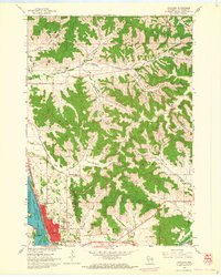
1963 · Onalaska
USGS Topo · 1:24,000
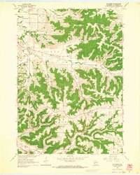
1963 · St. Joseph
USGS Topo · 1:24,000