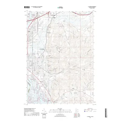
2018 Map of La Crosse
USGS Topo · Published 2018About this map
The Mississippi River and its intricate network of sloughs, including Bluff Slough and Mormon Slough, dominate the western edge of this 2018 survey. The landscape is defined by the dramatic transition from the river bottomlands to the steep, coulee-dissected bluffs of La Crosse and Onalaska. Local landmarks such as Granddad Bluff and Cliffwood Bluff overlook a dense urban grid, while the surrounding area is characterized by numerous valley features like Miller Coulee and State Road Coulee. Genealogists will find a significant concentration of burial sites, ranging from the large Oak Grove Cem and Catholic Cem to smaller family-named locations such as Oehler Cem and Klenholz Cem. The map captures the modern transportation infrastructure, including Interstate 90 and the La Crosse Regional Airport, set against the traditional settlements of Medary and Shelby.
Find a feature on this map
66 named features on this map. Tap any name to fly to it.
Don’t see what you’re looking for? This feature index may not catch every label — zoom into the map to look around manually.
Map Details
Editions of this 2018 La Crosse Map
This is the sole edition of this map. No revisions or reprints were ever made.
Other maps of this area

1926 · Stoddard
USGS Topo · 1:62,500

1927 · La Crosse
USGS Topo · 1:62,500

1930 · La Crescent
USGS Topo · 1:62,500

1930 · La Crosse
USGS Topo · 1:62,500

1956 · Brownsville
USGS Topo · 1:62,500

1956 · La Crescent
USGS Topo · 1:62,500

1958 · La Crosse
USGS Topo · 1:250,000

1961 · La Crosse
USGS Topo · 1:250,000
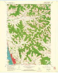
1963 · Onalaska
USGS Topo · 1:24,000
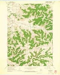
1963 · St. Joseph
USGS Topo · 1:24,000