
1930 Map of La Crosse
USGS Topo · Published 1930About this map
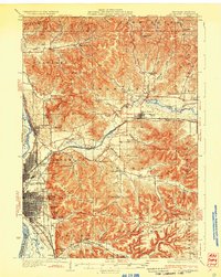
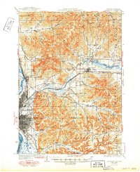
La Crosse serves as the industrial and transit anchor at the confluence of the Mississippi River, the Black River, and the La Crosse River in this 1930 survey. The topography is defined by deeply carved coulees and prominent high points like Grand Dad Bluff, Cliffwood Bluff, and Miller Bluff. This era shows a landscape where three major rail lines—the Chicago Milwaukee and St Paul Railway, the Chicago and Northwestern Railway, and the Chicago Burlington and Quincy Railroad—converge at Grand Crossing and North La Crosse.
Find a feature on this map
100 named features on this map. Tap any name to fly to it.
Don’t see what you’re looking for? This feature index may not catch every label — zoom into the map to look around manually.
Map Details
Editions of this 1930 La Crosse Map
3 editions found
Other maps of this area

1909 · Sparta
USGS Topo · 1:62,500

1923 · Viroqua
USGS Topo · 1:62,500

1926 · Stoddard
USGS Topo · 1:62,500

1926 · Viroqua
USGS Topo · 1:62,500

1926 · North Bend
USGS Topo · 1:62,500

1927 · La Crosse
USGS Topo · 1:62,500

1928 · Melrose
USGS Topo · 1:48,000

1929 · Galesville
USGS Topo · 1:62,500

1929 · North Bend
USGS Topo · 1:62,500

1930 · La Crescent
USGS Topo · 1:62,500