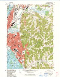
1993 Map of La Crosse
USGS Topo · Published 1993About this map
La Crosse and its eastern ridges appear at a period of significant late-century development, where the city grid meets the steep coulees and bluffs of the Driftless Area. The urban core is densely packed with educational and spiritual institutions, from Viterbo College and Aquinas High Sch to the Cathedral Sch, while the industrial legacy of Grand Crossing is marked by the intersecting lines of the Burlington Northern and Chicago and North Western railroads.
Find a feature on this map
89 named features on this map. Tap any name to fly to it.
Don’t see what you’re looking for? This feature index may not catch every label — zoom into the map to look around manually.
Map Details
Editions of this 1993 La Crosse Map
This is the sole edition of this map. No revisions or reprints were ever made.
Other maps of this area

1926 · Stoddard
USGS Topo · 1:62,500

1927 · La Crosse
USGS Topo · 1:62,500

1930 · La Crescent
USGS Topo · 1:62,500

1930 · La Crosse
USGS Topo · 1:62,500

1956 · Brownsville
USGS Topo · 1:62,500

1956 · La Crescent
USGS Topo · 1:62,500

1958 · La Crosse
USGS Topo · 1:250,000

1961 · La Crosse
USGS Topo · 1:250,000
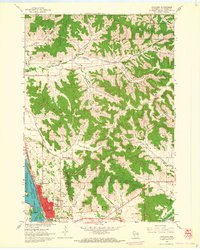
1963 · Onalaska
USGS Topo · 1:24,000
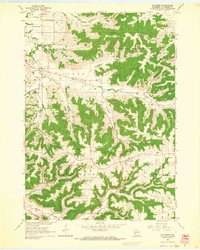
1963 · St. Joseph
USGS Topo · 1:24,000