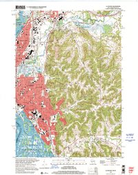
1998 Map of La Crosse
USGS Topo · Published 2001About this map
La Crosse sits at a geographic crossroads where the Mississippi River and La Crosse River meet, characterized by a complex network of sloughs and backwaters like Running Slough and Green Island Slough. The city is defined by its dramatic elevation changes, rising from the riverbanks to the steep bluffs of Hixon Forest Park, including the prominent Granddad Bluff and Miller Bluff. The 1990s landscape shows a mature urban center housing Viterbo College and the Univ of Wisconsin (La Crosse Campus), while the surrounding coulees, such as Ebner Coulee and Smith Valley, reflect the region's unique driftless topography. To the south and east, smaller settlements like Shelby and St Joseph occupy the higher ridges, while the western edge is dominated by the National Wild Life and Fish Refuge along the river's main channel.
Find a feature on this map
93 named features on this map. Tap any name to fly to it.
Don’t see what you’re looking for? This feature index may not catch every label — zoom into the map to look around manually.
Map Details
Editions of this 1998 La Crosse Map
This is the sole edition of this map. No revisions or reprints were ever made.
Other maps of this area

1926 · Stoddard
USGS Topo · 1:62,500

1927 · La Crosse
USGS Topo · 1:62,500

1930 · La Crescent
USGS Topo · 1:62,500

1930 · La Crosse
USGS Topo · 1:62,500

1956 · Brownsville
USGS Topo · 1:62,500

1956 · La Crescent
USGS Topo · 1:62,500

1958 · La Crosse
USGS Topo · 1:250,000

1961 · La Crosse
USGS Topo · 1:250,000
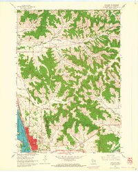
1963 · Onalaska
USGS Topo · 1:24,000
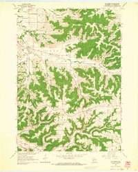
1963 · St. Joseph
USGS Topo · 1:24,000