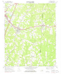
1968 Map of La Crosse
USGS Topo · Published 1977About this map
The town of La Crosse serves as a significant rail junction in this 1968 study, where the Seaboard Coast Line crosses the tracks of the Atlantic and Danville and the Norfolk and Western railroads. This intersection created a commercial hub for Mecklenburg County, supporting the surrounding tobacco-farming landscape. To the north, the larger town of South Hill shows its mid-century growth near the Church of the Good Shepherd and Full Gospel Tabernacle.
Find a feature on this map
42 named features on this map. Tap any name to fly to it.
Don’t see what you’re looking for? This feature index may not catch every label — zoom into the map to look around manually.
Map Details
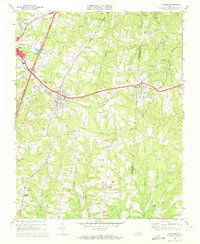
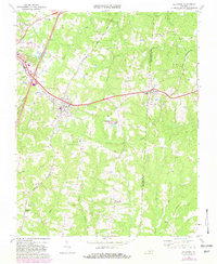
Editions of this 1968 La Crosse Map
3 editions found
Other maps of this area

1918 · Lawrenceville
USGS Topo · 1:62,500

1919 · White Plains
USGS Topo · 1:48,000

1920 · Lawrenceville
USGS Topo · 1:48,000

1920 · White Plains
USGS Topo · 1:62,500

1921 · Lawrenceville
USGS Topo · 1:62,500

1942 · Lawrenceville
USGS Topo · 1:62,500

1953 · Norfolk
USGS Topo · 1:250,000

1953 · Greensboro
USGS Topo · 1:250,000

1954 · Greensboro
USGS Topo · 1:250,000

1955 · Kenbridge
USGS Topo · 1:62,500