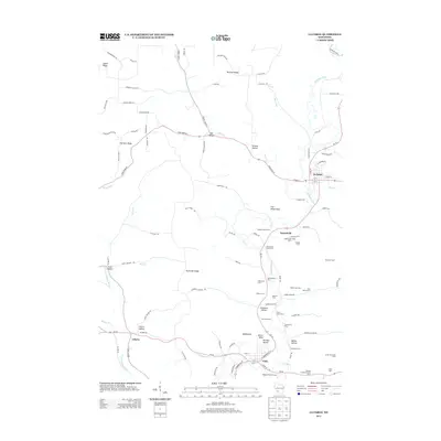
2013 Map of La Farge
USGS Topo · Published 2013About this map
The Kickapoo River winds through this driftless area landscape, anchoring the villages of La Farge and Viola along its course. The terrain is defined by a series of prominent ridges and hollows, including Salem Ridge, Fairview Ridge, and Buckeye Ridge, which separate the valley floors from the higher elevations. This 2013 survey is particularly notable for its documentation of named agricultural operations and stock farms, such as the Shady Lawn Stock Farm and the Festina Hereford Stock Farm, providing a detailed record of the region's livestock heritage.
Find a feature on this map
109 named features on this map. Tap any name to fly to it.
Don’t see what you’re looking for? This feature index may not catch every label — zoom into the map to look around manually.
Map Details
Editions of this 2013 La Farge Map
This is the sole edition of this map. No revisions or reprints were ever made.
Other maps of this area

1923 · Viroqua
USGS Topo · 1:62,500

1924 · Gays Mills
USGS Topo · 1:62,500

1926 · Gays Mills
USGS Topo · 1:62,500

1926 · Viroqua
USGS Topo · 1:62,500

1926 · La Farge
USGS Topo · 1:62,500

1933 · Boaz
USGS Topo · 1:62,500

1958 · La Crosse
USGS Topo · 1:250,000

1961 · La Crosse
USGS Topo · 1:250,000

1965 · La Crosse
USGS Topo · 1:250,000

1965 · La Farge
USGS Topo · 1:62,500