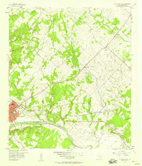
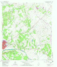
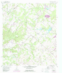
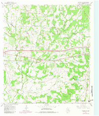
1957 Map of La Grange East
USGS Topo · Published 1958This historical map portrays the area of La Grange East in 1957, primarily covering Fayette County. Featuring a scale of 1:24000, this map provides a highly detailed snapshot of the terrain, roads, buildings, counties, and historical landmarks in the La Grange East region at the time. Published in 1958, it is one of 2 known editions of this map due to revisions or reprints.
Find a feature on this map
42 named features on this map. Tap any name to fly to it.
Don’t see what you’re looking for? This feature index may not catch every label — zoom into the map to look around manually.
Map Details
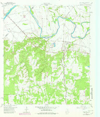
Editions of this 1957 La Grange East Map
2 editions found
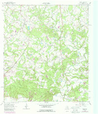
Historical Maps of Gay Hill Through Time
10 maps found
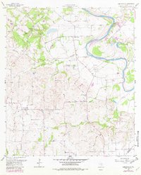
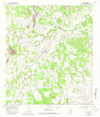
1957 Ammannsville
Fayette County, TX
1957 La Grange East
Fayette County, TX
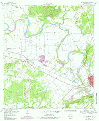
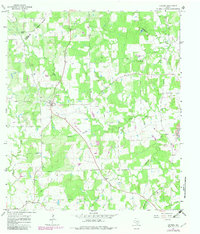
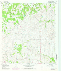
1958 La Grange West
Fayette County, TX
1958 Nechanitz
Fayette County, TX
1958 West Point
Fayette County, TX
1962 Warda
Fayette County, TX
1965 Cistern
Fayette County, TX
1965 Flatonia NW
Fayette County, TX
1965 Muldoon
Fayette County, TX
1965 Swiss Alp
Fayette County, TX