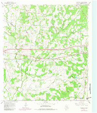
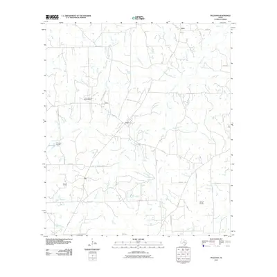
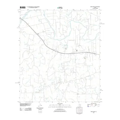
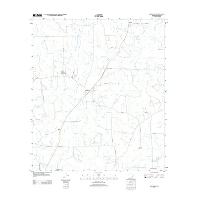
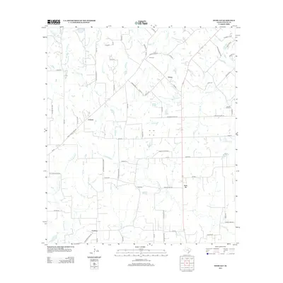
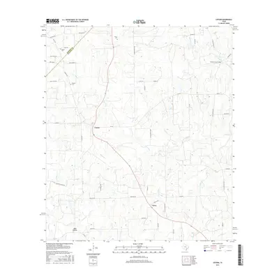
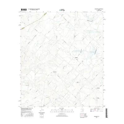
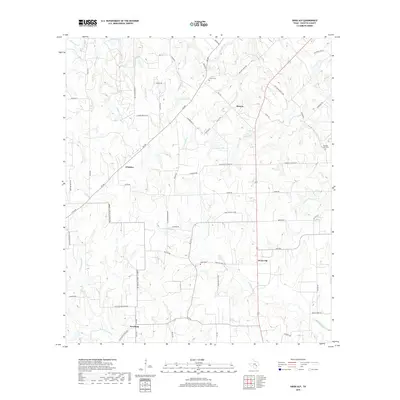
1958 Map of Nechanitz
USGS Topo · Published 1989About this map
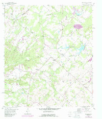
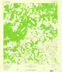
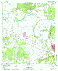
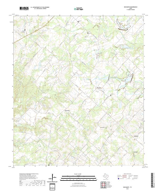
Nechanitz and the surrounding rural communities of Waldeck and Walhalla are situated along the boundary between Lee Co and Fayette Co. This post-war landscape is characterized by a dense network of seasonal watercourses, including Pin Oak Creek, Rocky Creek, and the prominent Cummins Creek, which drain toward the southeast. The area retains a traditional settlement pattern centered on community institutions like Bethany Ch and Waldeck Ch, along with numerous family-named burial grounds such as Schumann Cem and Bell Cem. While much of the terrain is given to agriculture and woodland, the presence of an Oil Field and scattered Gravel Pits indicates the local extraction economy. Topographically, the land rises to Hellers Hill, providing a view over the winding branches of Hellers Branch and Speckels Branch that carve through this central Texas upland.
Find a feature on this map
36 named features on this map. Tap any name to fly to it.
Don’t see what you’re looking for? This feature index may not catch every label — zoom into the map to look around manually.
Map Details
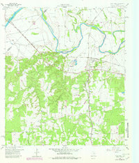
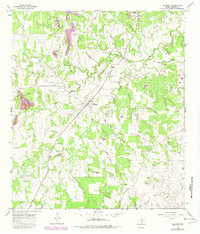
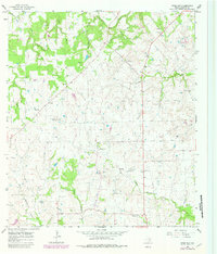
Editions of this 1958 Nechanitz Map
2 editions found
Historical Maps of Nechanitz Through Time
60 maps found
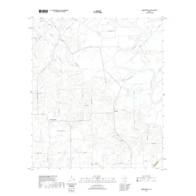
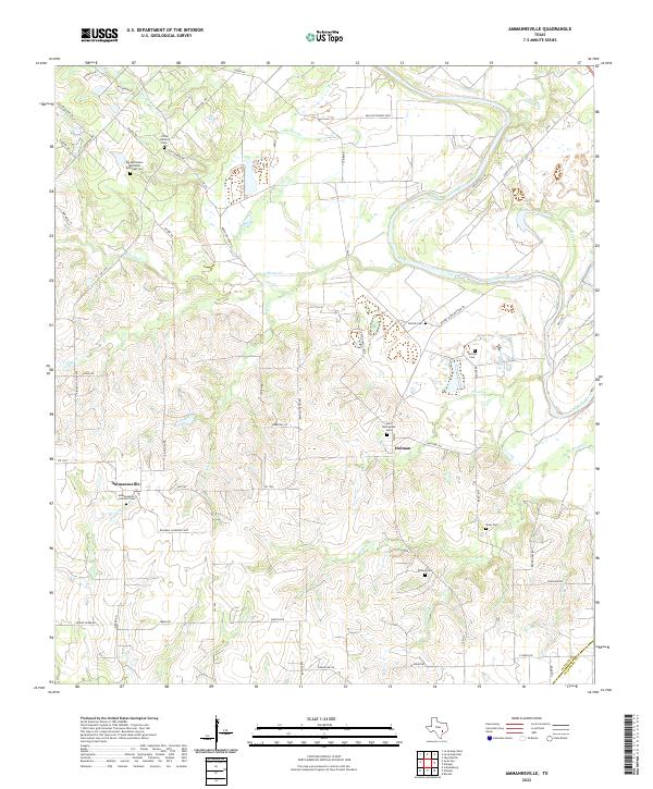
1957 Ammannsville
Fayette County, TX
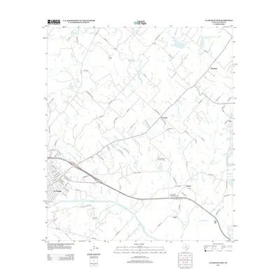
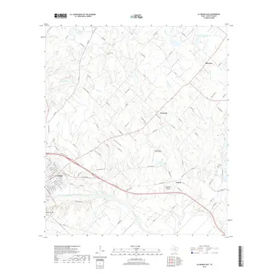
1957 La Grange East
Fayette County, TX
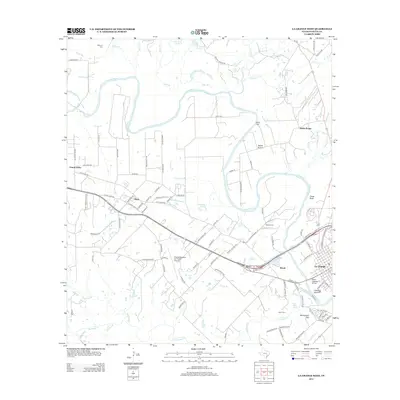
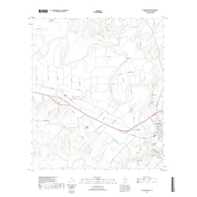
1958 La Grange West
Fayette County, TX
1958 Nechanitz
Fayette County, TX
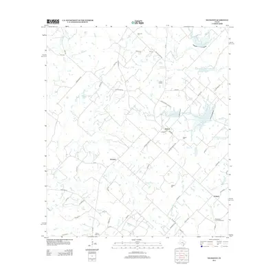
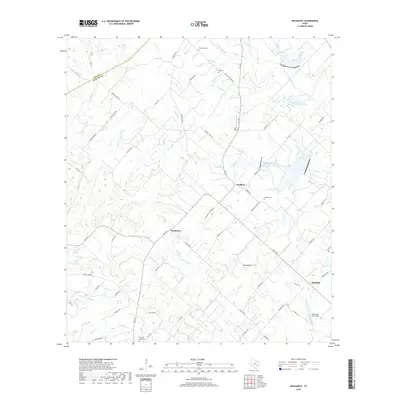
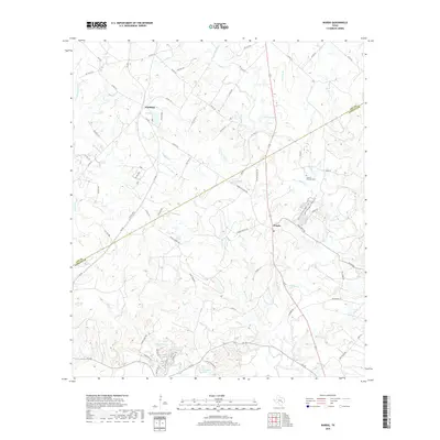
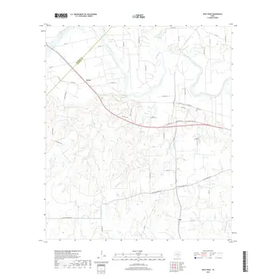
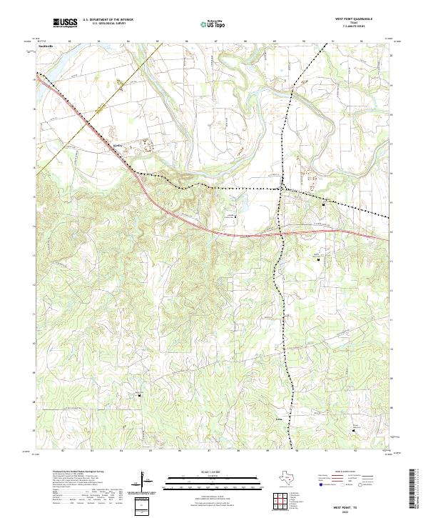
1958 West Point
Fayette County, TX
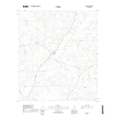
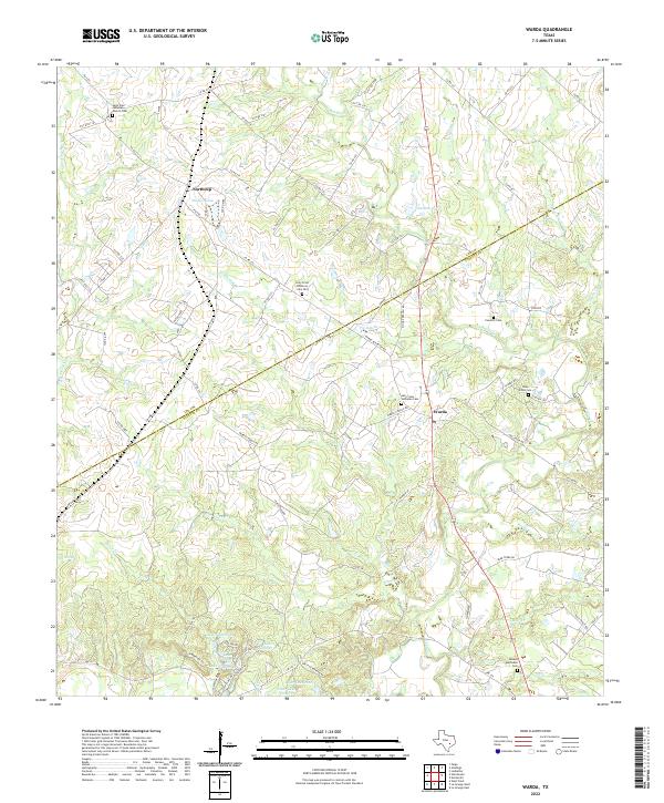
1962 Warda
Fayette County, TX
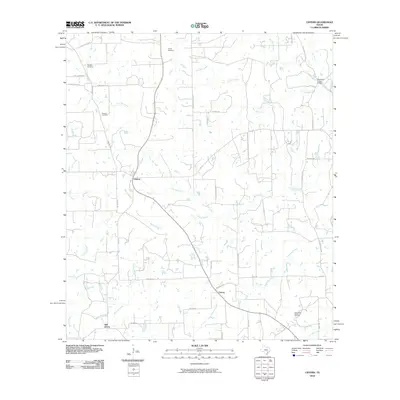
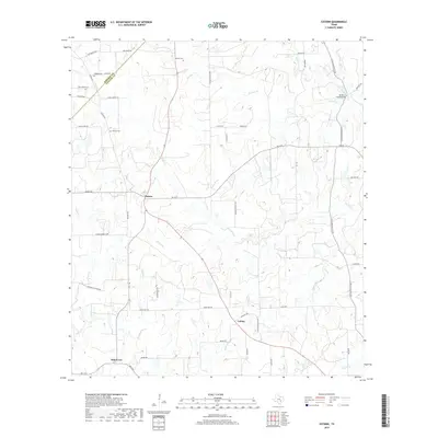
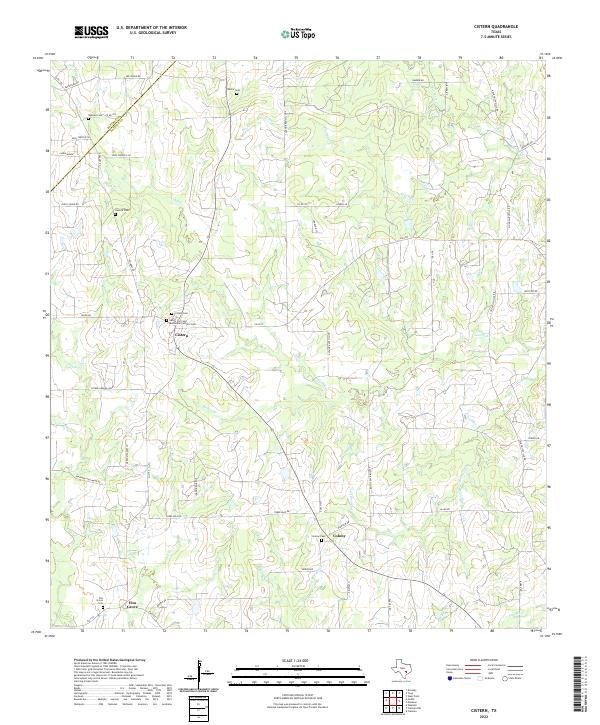
1965 Cistern
Fayette County, TX
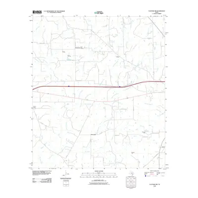
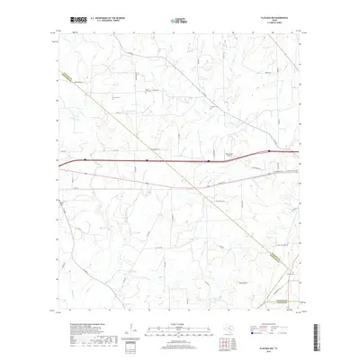
1965 Flatonia NW
Fayette County, TX
1965 Muldoon
Fayette County, TX
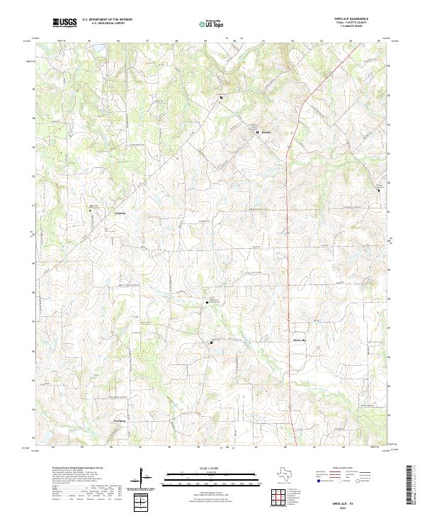
1965 Swiss Alp
Fayette County, TX
2010 Ammannsville
Fayette County, TX
2010 Cistern
Fayette County, TX
2010 Flatonia NW
Fayette County, TX
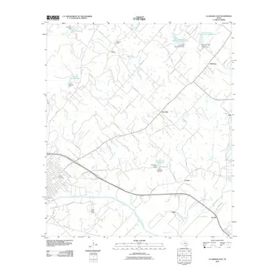
2010 La Grange East
Fayette County, TX
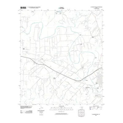
2010 La Grange West
Fayette County, TX
2010 Muldoon
Fayette County, TX
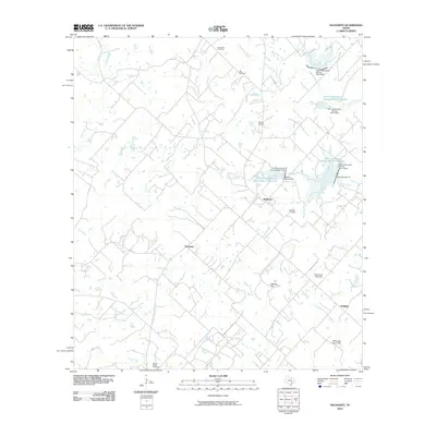
2010 Nechanitz
Fayette County, TX
2010 Swiss Alp
Fayette County, TX
2010 Warda
Fayette County, TX
2010 West Point
Fayette County, TX
2013 Ammannsville
Fayette County, TX
2013 Cistern
Fayette County, TX
2013 Flatonia NW
Fayette County, TX
2013 La Grange East
Fayette County, TX
2013 La Grange West
Fayette County, TX
2013 Muldoon
Fayette County, TX
2013 Nechanitz
Fayette County, TX
2013 Swiss Alp
Fayette County, TX
2013 Warda
Fayette County, TX
2013 West Point
Fayette County, TX
2016 Ammannsville
Fayette County, TX
2016 Cistern
Fayette County, TX
2016 Flatonia NW
Fayette County, TX

2016 La Grange East
Fayette County, TX
2016 La Grange West
Fayette County, TX
2016 Muldoon
Fayette County, TX
2016 Nechanitz
Fayette County, TX
2016 Swiss Alp
Fayette County, TX
2016 Warda
Fayette County, TX
2016 West Point
Fayette County, TX
2019 Ammannsville
Fayette County, TX
2019 Cistern
Fayette County, TX
2019 Flatonia NW
Fayette County, TX
2019 La Grange East
Fayette County, TX
2019 La Grange West
Fayette County, TX
2019 Muldoon
Fayette County, TX
2019 Nechanitz
Fayette County, TX
2019 Swiss Alp
Fayette County, TX
2019 Warda
Fayette County, TX
2019 West Point
Fayette County, TX
2022 Ammannsville
Fayette County, TX
2022 Cistern
Fayette County, TX
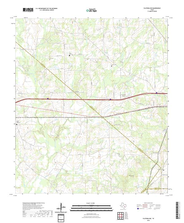
2022 Flatonia NW
Fayette County, TX
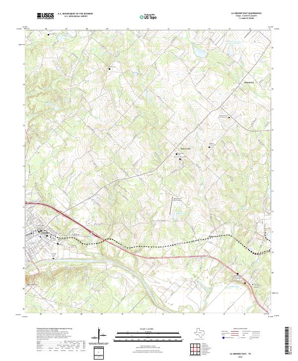
2022 La Grange East
Fayette County, TX
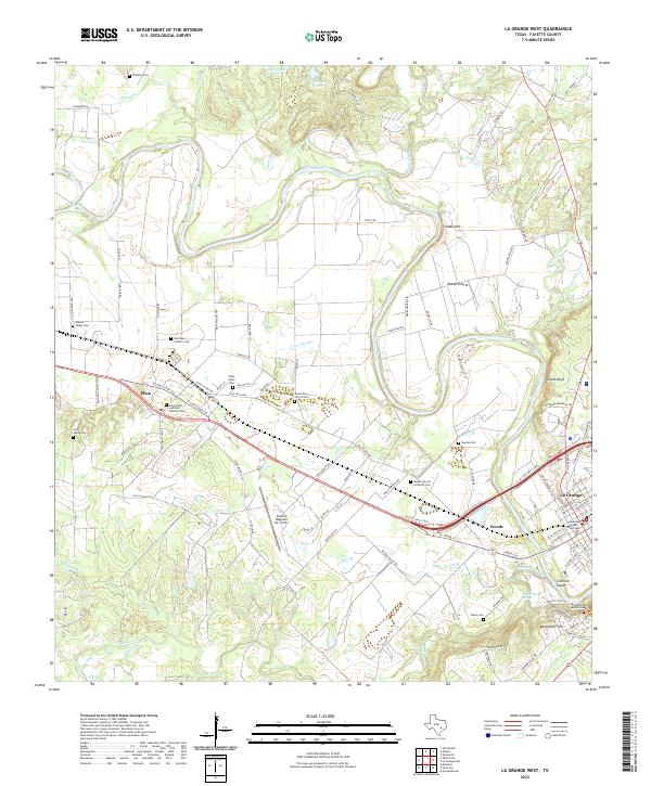
2022 La Grange West
Fayette County, TX
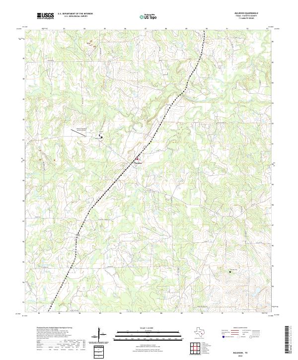
2022 Muldoon
Fayette County, TX
2022 Nechanitz
Fayette County, TX
2022 Swiss Alp
Fayette County, TX
2022 Warda
Fayette County, TX
2022 West Point
Fayette County, TX