Loading...
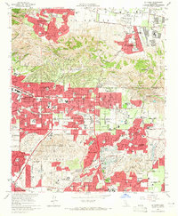
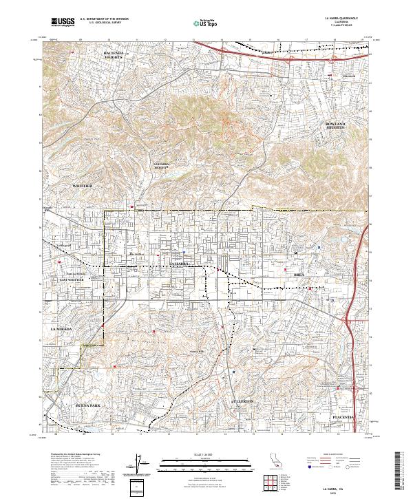
Loading map...1964 Map of La Habra
USGS Topo · Published 1965About this map
The Puente Hills and La Habra Hills dominate the northern landscape of this mid-1960s survey, where sprawling oil fields meet the rapid suburban expansion of Orange and Los Angeles Counties. This era captures the transition of the region from an industrial petroleum and agricultural hub into a dense residential corridor. While the southern plains are heavily developed, the Oil Field labels indicate the continuing significance of the energy sector in the hills above La Habra and Brea.
Find a feature on this map
42 named features on this map. Tap any name to fly to it.
Don’t see what you’re looking for? This feature index may not catch every label — zoom into the map to look around manually.
Map Details
Date Portrayed1964
Date Published1965
PublisherU.S. Geological Survey
Map TypeTopographic
Scale1:24000
Physical Dimensions22.1 x 26.9 inches
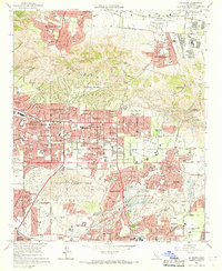
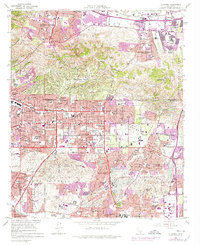
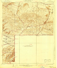
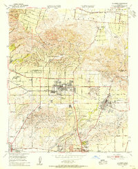
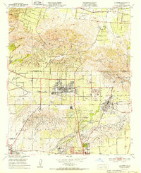
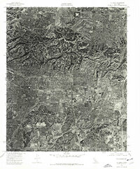
Editions of this 1964 La Habra Map
4 editions found
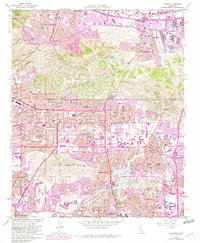
Historical Maps of Buena Park Through Time
6 maps found
Featured Locations
Source Details
SourceU.S. Geological Survey
CopyrightPublic Domain