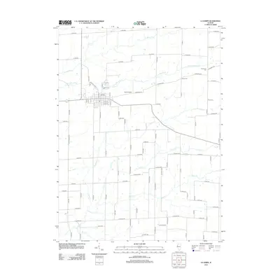
2012 Map of La Harpe
USGS Topo · Published 2012About this map
La Harpe serves as the primary hub of this Illinois landscape, situated at the junction of several regional routes including Terre Haute Rd and Monmouth Rd. The town's grid is centered near the LaHarpe City Cem, reflecting a long-standing community structure. Beyond the settlement, the terrain is defined by an intricate network of waterways, primarily the La Moine River and its various tributaries such as the S Br La Moine River, La Harpe Cr, and Baptist Cr. These streams create a natural drainage pattern that dictates the placement of rural roads and homesteads.
Find a feature on this map
53 named features on this map. Tap any name to fly to it.
Don’t see what you’re looking for? This feature index may not catch every label — zoom into the map to look around manually.
Map Details
Editions of this 2012 La Harpe Map
This is the sole edition of this map. No revisions or reprints were ever made.
Other maps of this area

1913 · Colchester
USGS Topo · 1:62,500

1918 · La Harpe
USGS Topo · 1:62,500

1932 · Lomax
USGS Topo · 1:62,500

1933 · Carthage
USGS Topo · 1:62,500

1937 · Carthage
USGS Topo · 1:62,500

1937 · Lomax
USGS Topo · 1:62,500

1958 · Burlington
USGS Topo · 1:250,000

1961 · Burlington
USGS Topo · 1:250,000

1963 · Burlington
USGS Topo · 1:250,000

1964 · Lomax
USGS Topo · 1:24,000