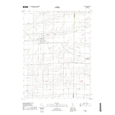
2018 Map of La Harpe
USGS Topo · Published 2018About this map
The La Harpe and Blandinsville area along the Hancock and McDonough County line is defined by a dense network of creek valleys and agricultural plateaus. The northern reaches of the quadrangle are shaped by the La Moine River and its south branch, while the southern landscape is drained by La Harpe Creek, Little Creek, and Baptist Creek. This 2018 survey reveals a rural landscape where many historic family and community landmarks remain, including several dispersed burial grounds like Hillsborough Cemetery and Chapel Cemetery. Morton Airport serves as a small aviation hub east of the primary settlement. The map shows a transition from the structured street grid of the towns to the sprawling township road system that connects these remote Illinois farming communities.
Find a feature on this map
86 named features on this map. Tap any name to fly to it.
Don’t see what you’re looking for? This feature index may not catch every label — zoom into the map to look around manually.
Map Details
Editions of this 2018 La Harpe Map
This is the sole edition of this map. No revisions or reprints were ever made.
Other maps of this area

1913 · Colchester
USGS Topo · 1:62,500

1918 · La Harpe
USGS Topo · 1:62,500

1932 · Lomax
USGS Topo · 1:62,500

1933 · Carthage
USGS Topo · 1:62,500

1937 · Carthage
USGS Topo · 1:62,500

1937 · Lomax
USGS Topo · 1:62,500

1958 · Burlington
USGS Topo · 1:250,000

1961 · Burlington
USGS Topo · 1:250,000

1963 · Burlington
USGS Topo · 1:250,000

1964 · Lomax
USGS Topo · 1:24,000