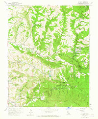
1961 Map of La Honda
USGS Topo · Published 1965About this map
La Honda sits at the heart of this coastal mountain landscape, where several creeks converge to form a complex network of canyons and ridges. During the early 1960s, this area of San Mateo County served as a significant recreational and educational retreat, evidenced by the presence of San Francisco Log Cabin Boys School and several organized camps such as San Francisco Camp, Oakland Camp, and Woodhaven Camp. The terrain is defined by deep drainages like Pescadero Creek and La Honda Creek, which carve through ridges such as Dill Ridge and Butano Ridge. Resource extraction is subtly visible through several Oil Wells scattered near Redwood Terrace. Local agricultural and ranching history is preserved through labels like Pomponio Ranch and Burns Ranch, while public land use is anchored by Memorial Park and the waters of Reflection Lake.
Find a feature on this map
76 named features on this map. Tap any name to fly to it.
Don’t see what you’re looking for? This feature index may not catch every label — zoom into the map to look around manually.
Map Details
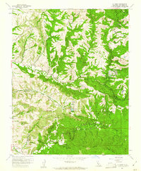
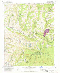
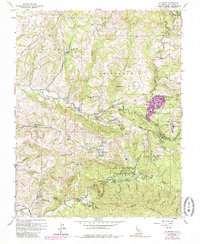
Editions of this 1961 La Honda Map
4 editions found
Other maps of this area

1897 · Palo Alto
USGS Topo · 1:62,500

1899 · Palo Alto
USGS Topo · 1:62,500

1902 · Santa Cruz
USGS Topo · 1:125,000

1940 · Halfmoon Bay
USGS Topo · 1:62,500

1940 · Ano Nuevo
USGS Topo · 1:62,500

1941 · Ano Nuevo Pt.
USGS Topo · 1:62,500

1941 · Palo Alto
USGS Topo · 1:62,500

1942 · Ano Nuevo
USGS Topo · 1:62,500

1943 · Palo Alto
USGS Topo · 1:62,500

1943 · Halfmoon Bay
USGS Topo · 1:62,500