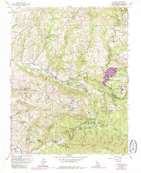
1961 Map of La Honda
USGS Topo · Published 1985About this map
La Honda sits at the heart of this coastal mountain landscape, where several major creeks converge amidst a complex system of ridges and canyons. The map reveals a mid-century pattern of institutional and recreational land use, featuring several seasonal or youth-oriented outposts such as the San Francisco Log Cabin Boys School, San Francisco Camp, and Oakland Camp. A small cluster of oil wells along Bogess Creek indicates localized resource extraction occurring alongside the public spaces of Memorial Park and McDonald Park.
Find a feature on this map
72 named features on this map. Tap any name to fly to it.
Don’t see what you’re looking for? This feature index may not catch every label — zoom into the map to look around manually.
Map Details
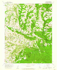
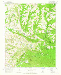
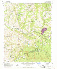
Editions of this 1961 La Honda Map
4 editions found
Other maps of this area

1897 · Palo Alto
USGS Topo · 1:62,500

1899 · Palo Alto
USGS Topo · 1:62,500

1902 · Santa Cruz
USGS Topo · 1:125,000

1940 · Halfmoon Bay
USGS Topo · 1:62,500

1940 · Ano Nuevo
USGS Topo · 1:62,500

1941 · Ano Nuevo Pt.
USGS Topo · 1:62,500

1941 · Palo Alto
USGS Topo · 1:62,500

1942 · Ano Nuevo
USGS Topo · 1:62,500

1943 · Palo Alto
USGS Topo · 1:62,500

1943 · Halfmoon Bay
USGS Topo · 1:62,500