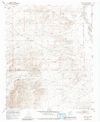
1952 Map of La Joya NW
USGS Topo · Published 1980About this map
Sevilleta National Wildlife Refuge and the surrounding Sevilleta Grant dominate this landscape, capturing a transition between high-desert plateaus and the dramatic slopes of the Sierra Ladrones in the southwestern corner. This mid-century survey, based on Tennessee Valley Authority photogrammetry from 1951, provides a detailed record of the drainage patterns and water management required in this arid environment. Key water sources like Rio Puerco and the Cañada Colorado carve through the terrain, while scattered landmarks such as a Windmill, Well, and Storage Tank indicate the ongoing human effort to sustain ranching or conservation activities. Boundary lines, including the Belen Grant and the New Mexico Principal Meridian, reflect the complex land-use history and cadastral surveying of Socorro County.
Find a feature on this map
14 named features on this map. Tap any name to fly to it.
Don’t see what you’re looking for? This feature index may not catch every label — zoom into the map to look around manually.
Map Details
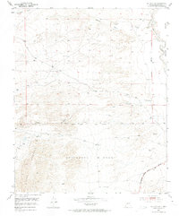
Editions of this 1952 La Joya NW Map
Other maps of this area

1916 · La Joya
USGS Topo · 1:125,000

1917 · Cerro Verde
USGS Topo · 1:125,000

1952 · La Joya NW
USGS Topo · 1:24,000

1952 · San Anacia
USGS Topo · 1:24,000

1952 · Belen SW
USGS Topo · 1:24,000

1952 · La Joya
USGS Topo · 1:24,000

1952 · Veguita
USGS Topo · 1:24,000

1952 · Abeytas
USGS Topo · 1:24,000

1954 · Socorro
USGS Topo · 1:250,000

1956 · Mesa Aparejo
USGS Topo · 1:62,500