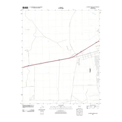
2010 Map of La Mesita Negra SE
USGS Topo · Published 2010About this map
Central Ave NW and the surrounding west mesa landscape of Albuquerque are documented here in detail during a period of significant urban transition. The map captures the intersection of expanding municipal infrastructure and the natural desert terrain, with the Lareda Arroyo draining the northern slopes toward the Rio Grande valley. In the north, the topographic feature known as El Rincon overlooks a network of emerging thoroughfares including Paseo Del Volcan NW and the uniquely named Tempur Pedic Pkwy.
Find a feature on this map
23 named features on this map. Tap any name to fly to it.
Don’t see what you’re looking for? This feature index may not catch every label — zoom into the map to look around manually.
Map Details
Editions of this 2010 La Mesita Negra SE Map
This is the sole edition of this map. No revisions or reprints were ever made.
Other maps of this area

1888 · Bernalillo
USGS Topo · 1:125,000

1889 · Albuquerque
USGS Topo · 1:125,000

1893 · Albuquerque
USGS Topo · 1:125,000

1934 · West Albuquerque
USGS Topo · 1:24,000

1934 · Griegos
USGS Topo · 1:24,000

1938 · Albuquerque
USGS Topo · 1:62,500

1952 · Wind Mesa
USGS Topo · 1:24,000

1952 · Isleta
USGS Topo · 1:24,000

1952 · Dalies NW
USGS Topo · 1:24,000

1954 · Volcano Ranch
USGS Topo · 1:24,000