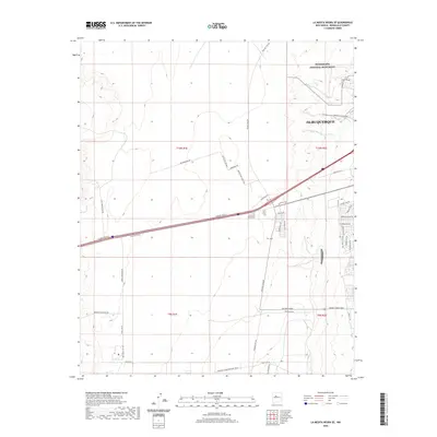
2020 Map of La Mesita Negra SE
USGS Topo · Published 2020About this map
Petroglyph National Monument anchors the northeastern portion of this survey, preserving a landscape where cultural heritage meets the expanding western reaches of Albuquerque. The map documents a territory defined by a grid of major transit corridors and emerging industrial or commercial development, evidenced by specialized naming like Tempur Pedic Pkwy NW and BCIP Access Dr NW.
Find a feature on this map
44 named features on this map. Tap any name to fly to it.
Don’t see what you’re looking for? This feature index may not catch every label — zoom into the map to look around manually.
Map Details
Editions of this 2020 La Mesita Negra SE Map
This is the sole edition of this map. No revisions or reprints were ever made.
Other maps of this area

1888 · Bernalillo
USGS Topo · 1:125,000

1889 · Albuquerque
USGS Topo · 1:125,000

1893 · Albuquerque
USGS Topo · 1:125,000

1934 · West Albuquerque
USGS Topo · 1:24,000

1934 · Griegos
USGS Topo · 1:24,000

1938 · Albuquerque
USGS Topo · 1:62,500

1952 · Wind Mesa
USGS Topo · 1:24,000

1952 · Isleta
USGS Topo · 1:24,000

1952 · Dalies NW
USGS Topo · 1:24,000

1954 · Volcano Ranch
USGS Topo · 1:24,000