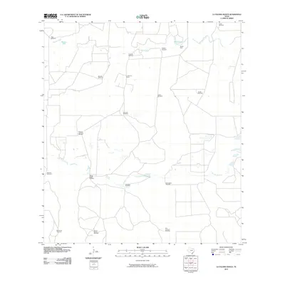
2010 Map of La Paloma Ranch
USGS Topo · Published 2010About this map
La Paloma Ranch anchors this South Texas landscape, where the distribution of water sources reveals the vital infrastructure of cattle ranching in Kleberg County. The network of named water features, including Los Olmos Creek and Palo Blanco Creek, is supplemented by a high density of windmills essential for sustaining livestock across the dry coastal plain. Notable landmarks such as McGill Lake and McGill Dam in the northeast indicate intentional water management on the ranch lands.
Find a feature on this map
23 named features on this map. Tap any name to fly to it.
Don’t see what you’re looking for? This feature index may not catch every label — zoom into the map to look around manually.
Map Details
Editions of this 2010 La Paloma Ranch Map
This is the sole edition of this map. No revisions or reprints were ever made.
Other maps of this area

1921 · Falfurrias
USGS Topo · 1:125,000

1928 · Sarita
USGS Topo · 1:125,000

1950 · Corpus Christi
USGS Topo · 1:250,000

1954 · Sarita
USGS Topo · 1:62,500

1954 · Riviera
USGS Topo · 1:62,500

1956 · Corpus Christi
USGS Topo · 1:250,000

1956 · Laredo
USGS Topo · 1:250,000

1960 · Corpus Christi
USGS Topo · 1:250,000

1963 · Flowella
USGS Topo · 1:24,000

1963 · Falfurrias SE
USGS Topo · 1:24,000