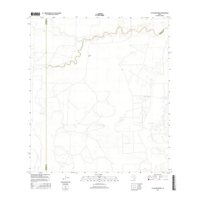
2016 Map of La Paloma Ranch
USGS Topo · Published 2016About this map
La Paloma Ranch sits at the heart of this South Texas landscape where the boundaries of Kleberg, Brooks, and Kenedy counties meet. The area is defined by a complex network of seasonal drainage and wetlands, most notably the winding course of Los Olmos Cr and Palo Blanco Cr. These intermittent water systems create distinct geographic markers in the brush country, occasionally pooling into features like Moreno Lake and Mcgill Lake. The map reveals a sparsely populated ranching environment where land use is dictated by the natural flow of water through Paisano Cr and Paloblo Cr. This 2016 survey captures the traditional large-scale ranching boundaries that have persisted in this part of the Wild Horse Desert for generations, providing a clear view of the rural infrastructure and hydrological patterns of the region.
Find a feature on this map
10 named features on this map. Tap any name to fly to it.
Don’t see what you’re looking for? This feature index may not catch every label — zoom into the map to look around manually.
Map Details
Editions of this 2016 La Paloma Ranch Map
This is the sole edition of this map. No revisions or reprints were ever made.
Other maps of this area

1921 · Falfurrias
USGS Topo · 1:125,000

1928 · Sarita
USGS Topo · 1:125,000

1950 · Corpus Christi
USGS Topo · 1:250,000

1954 · Sarita
USGS Topo · 1:62,500

1954 · Riviera
USGS Topo · 1:62,500

1956 · Corpus Christi
USGS Topo · 1:250,000

1956 · Laredo
USGS Topo · 1:250,000

1960 · Corpus Christi
USGS Topo · 1:250,000

1963 · Flowella
USGS Topo · 1:24,000

1963 · Falfurrias SE
USGS Topo · 1:24,000