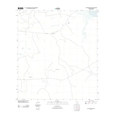
2013 Map of La Parra Ranch
USGS Topo · Published 2013About this map
La Parra Ranch serves as a primary anchor in this coastal ranching landscape of Kenedy County. The terrain is defined by its proximity to the saltwater reach of Baffin Bay in the northeast corner and the prominent rise of Alto de la Cruz to the southwest. This area reflects the specialized infrastructure of South Texas land management, where remote outposts like the Risken Lookout Tower and vital water sources such as Cabillos Well are essential for overseeing vast tracts of brush and pasture. Connectivity is maintained through a network of local routes, including CR 580, which links the interior ranch lands to the shoreline at La Parre Lndg. The map illustrates the sparsely populated, functional geography of a modern working ranch against the backdrop of the Texas coast.
Find a feature on this map
7 named features on this map. Tap any name to fly to it.
Don’t see what you’re looking for? This feature index may not catch every label — zoom into the map to look around manually.
Map Details
Editions of this 2013 La Parra Ranch Map
This is the sole edition of this map. No revisions or reprints were ever made.
Other maps of this area

1928 · Sarita
USGS Topo · 1:125,000

1950 · Corpus Christi
USGS Topo · 1:250,000

1951 · Kleberg Point
USGS Topo · 1:24,000

1951 · Sarita 4 NE
USGS Topo · 1:24,000

1952 · Riviera Beach
USGS Topo · 1:24,000

1952 · La Parra Ranch
USGS Topo · 1:24,000

1952 · Sarita 4 SE
USGS Topo · 1:24,000

1952 · Riviera Beach
USGS Topo · 1:62,500

1954 · La Parra Ranch SW
USGS Topo · 1:24,000

1954 · Sarita
USGS Topo · 1:62,500